
In recent years, the United States has seen a stark rise in the frequency and intensity of extreme weather events, particularly flooding in cities. Few events illustrate this reality better than Hurricane Ida’s devastating impact on the Gulf Coast and its far-reaching aftereffects on the urban landscapes of the Northeast. In August 2021, Ida made landfall in Louisiana as a Category 4 storm. What followed was a lesson in how climate change, rapid urbanization, and complex river systems can conspire to unleash unprecedented flooding, even well away from the point of landfall.
Ida’s Path: From Gulf Coast Devastation to Urban Deluge
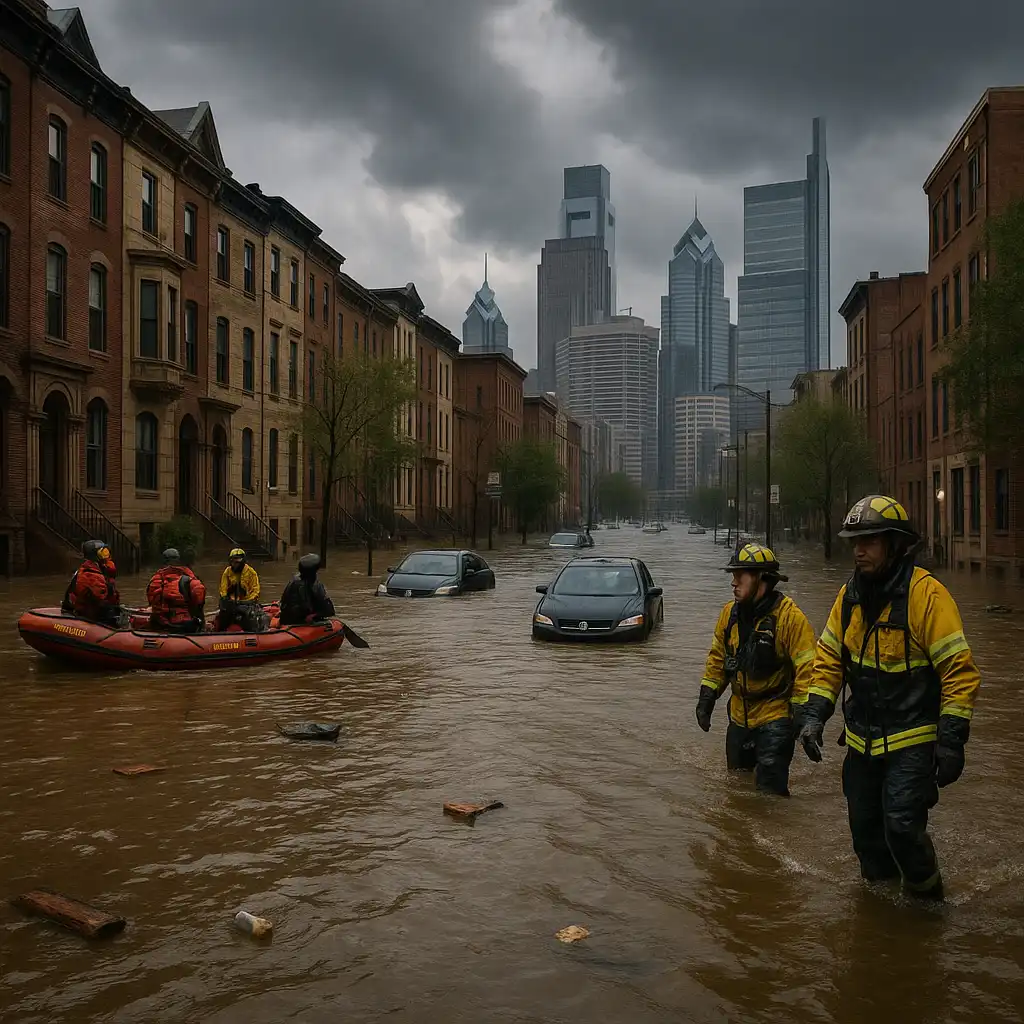
When Ida first struck Louisiana on August 29, 2021, it brought not only catastrophic winds and storm surges to the Gulf Coast, but also set the stage for a much broader disaster. As the hurricane traveled inland, its remnants collided with weather systems further north, dumping torrential rain across the Northeast. Philadelphia became an unlikely epicenter: between September 1 and 2, repeated downpours and a record-breaking seven tornadoes triggered a 1-in-100-year flood along the Schuylkill River. The river’s discharge soared to nearly 100 times its normal flow, overwhelming both historic neighborhoods and newly developed areas with floodwaters [1].
Why Urban Flooding Is Getting Worse
Urban areas are especially vulnerable in this new era of climate-driven extremes. Modern cities are often blanketed by impervious surfaces like asphalt, concrete, and rooftops, which prevent rainfall from soaking into the soil. During Ida, already-saturated soils, combined with these hard surfaces and outdated infrastructure, amplified pluvial (surface) flooding across Philadelphia. What’s more, these impacts didn’t discriminate by income — both affluent and disadvantaged communities found themselves inundated.
Researchers are finding that such events expose gaps in our traditional flood models. Many forecasting systems can’t account for the hyper-local way that rainfall interacts with city rivers, tidal surges, and urban terrain. In a recent study, scientists used street-level flood modeling — integrating LiDAR scans, detailed terrain mapping, and infrastructure data — to more accurately simulate Ida’s impact. Their findings underscore a worrying reality: as extreme rain events become more common, urban centers have tipping points at which river or coastal surges combined with rainfall can lead to catastrophic, unpredictable flooding [1].
Why Cities Like Philadelphia Are At Risk
It isn’t only the scale of rainfall that matters. Timing and geography are critical. When rain falls on already waterlogged ground, rivers and sewers can overflow in minutes. Meanwhile, rising sea levels and higher storm surges driven by warming oceans—trends confirmed in studies following Hurricane Ida—mean that large Eastern U.S. cities with tidal rivers are doubly exposed. Infrastructure fragmentation, such as older pipes and storm drains unable to handle modern deluges, exacerbates the risk. Even advanced cities must now face the reality that what was once a “hundred-year flood” may soon feel like a once-a-decade occurrence.
The Human Side: Communities, Recovery, and Resilience
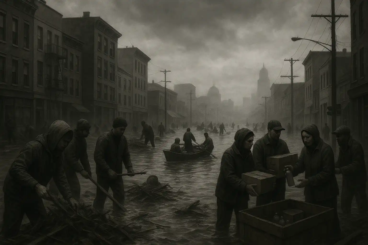
The impacts of urban flooding aren’t just measured in inches of water. Flooded basements, destroyed personal belongings, business losses, power outages, and displaced families are all part of the human toll. The spread of flood waters in both high- and low-income neighborhoods during Ida’s Northeast rampage is a stark reminder that disasters can cross social and economic lines. Yet, lower-income communities often suffer the longest recoveries, with fewer resources to bounce back once the waters recede.
Preparing for the Future: Science and Safety
Events like Ida highlight the urgent need for more precise flood forecasting and more resilient urban infrastructure. Investments in green spaces, updated drainage systems, and building codes that reflect new flood realities are crucial. On a community level, individuals can take steps to protect their homes, such as installing sump pumps, keeping storm drains clear, preparing emergency kits, and planning evacuation routes.
On the scientific front, the development and implementation of street-level, high-resolution flood models will be vital for city preparedness—not just for hurricanes, but for any extreme rains that could threaten urban America in a warming world [1].
Safety Tips:
- Sign up for local emergency alerts.
- Know whether you live in a flood-prone area—even if it’s never flooded before.
- Don’t drive or walk through flooded streets; depth and current can be deceiving.
- Store critical documents in waterproof containers and have a contact plan for your family if you need to evacuate.
As floods become more intense and unpredictable, it’s clear that urban communities must prepare for a future where extremes are the new normal, and science is our best tool for adaptation and resilience.
Leave a Reply