By Dusty
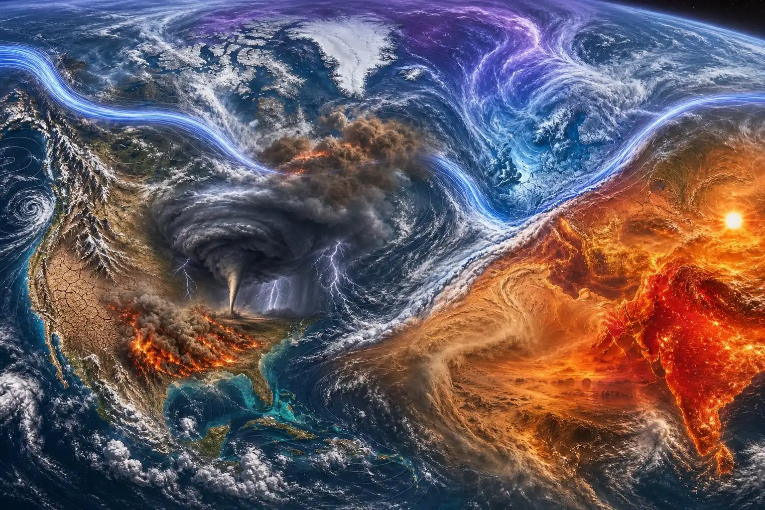
May is often the month when the atmosphere starts showing its summer teeth: tornado season near its peak in the United States, heat building across South Asia, wildfire risk rising in dry landscapes, and mountain snowpack beginning its melt-out. But the latest signals are not just “busy weather.” They are a reminder that today’s extremes increasingly overlap — heat worsening drought, drought feeding fire, abrupt temperature swings stressing infrastructure, and severe storms riding the boundary between air masses.
Across the globe, the weather map is flashing several warning lights at once.
A Record Start to Global Fire Season
From January through April, fires burned more than 150 million hectares — about 371 million acres — according to data cited by Reuters from World Weather Attribution. That is reportedly 20% higher than the previous record for the same period.[1]
That number is hard to picture, so let’s put it plainly: it is an area larger than many countries, scorched in just four months.
The pattern is especially concerning in Asia, where fires have burned about 44 million hectares so far this year — nearly 40% above the previous record year of 2014 — with India, Myanmar, Thailand, Laos, and China among the hardest-hit regions.[1]
One reason fire seasons can explode after a wet period is what meteorologists and fire scientists call the “grass-fire cycle.” Heavy rainfall during a growing season produces abundant grasses and brush. Then, if heat and drought arrive, that new vegetation dries out and becomes fuel. In savannahs and grasslands, this can turn a landscape into a nearly continuous burnable surface.
That is why fire risk is not just about whether a place is dry today. It is also about what grew months earlier, how hot the recent weather has been, how low humidity drops, and whether strong winds arrive at the wrong time.
El Niño Could Add Fuel to an Already Hot System
Scientists are also watching the tropical Pacific. Reuters reported that El Niño conditions were expected to begin in May, with the World Meteorological Organization warning that El Niño can raise global temperatures and shift rainfall patterns — increasing drought risk in places such as Australia, Indonesia, and parts of southern Asia while enhancing flood risk elsewhere.[1]
El Niño is not a storm. It is a basin-wide warming of the central and eastern equatorial Pacific Ocean that alters atmospheric circulation around the world. Its fingerprints can show up months later in drought, heavy rainfall, abnormal warmth, and disrupted storm tracks.
Friederike Otto of Imperial College London and World Weather Attribution warned that if a strong El Niño develops, the combined influence of climate change and El Niño could produce “unprecedented weather extremes.”[1]
That is the key phrase: combined influence. El Niño has always existed, but it is now operating in a warmer atmosphere with more background heat. In practical terms, that means the same circulation pattern can produce higher temperature ceilings, more intense evaporation, and sharper hydrologic swings than it did in the past.
Europe’s Whiplash: Arctic Chill to Summer Heat
Europe is seeing a vivid example of atmospheric whiplash. After a prolonged cool spell, a major warm-up is forecast across western and central Europe as high pressure builds and pulls hot air north from North Africa. The Guardian reported that parts of France and England could jump about 15°C compared with the previous week, while Spain and Portugal may reach the mid- to high-30s Celsius.[2]
That kind of swing matters. A 15°C rise in a few days is not simply a wardrobe problem. It can stress vulnerable people, agriculture, energy systems, and transportation networks — especially when overnight lows remain unusually warm. Warm nights are a major health concern because the body loses one of its best recovery windows.
The setup is classic late-spring meteorology: blocking high pressure over one region, low pressure elsewhere, and a jet stream pattern that allows air masses to move sharply north or south. In this case, Arctic air was pulled into parts of Europe earlier, followed by a surge of much warmer air from lower latitudes.[2]
Rapid transitions are one of the underappreciated hazards of extreme weather. People tend to prepare for “cold” or “hot,” but the atmosphere increasingly seems to be delivering both in quick succession.
South Asia’s Heat Is No Longer Rare
The human side of heat is brutally clear in Karachi, Pakistan. Residents there are dealing with extreme heat made worse by humidity, which can make temperatures below 40°C feel far more dangerous. The Guardian reported that World Weather Attribution found human-caused climate change approximately tripled the likelihood of the current India-Pakistan heat event, making it “no longer exceptional” in today’s climate. The same event would have been about 1°C cooler in a preindustrial climate.[3]
That 1°C difference may sound small until you consider how heat illness works. Human health thresholds are not linear. A slight increase in temperature — especially when paired with humidity, urban heat, poor ventilation, and warm nights — can push people from uncomfortable into dangerous.
Karachi’s fishing communities know this risk firsthand. The Guardian described a fisherman collapsing from heat exhaustion during the recent heatwave before being treated with fluids.[3]
That detail matters because extreme heat often harms people who cannot simply “stay indoors.” Fishers, construction workers, farmers, delivery drivers, street vendors, and people without reliable cooling face the greatest exposure. The danger is not only the afternoon high temperature — it is the cumulative strain of hot days, hot nights, dehydration, and limited recovery.
India has also been enduring intense heat, with several cities in Rajasthan, Gujarat, Maharashtra, and parts of northern and central India crossing 45°C, according to The Guardian.[3]
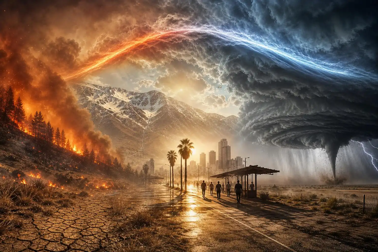
In the U.S., Snow Drought and Severe Storms Share the Map
The United States is dealing with its own split-screen weather story.
In the West, the snowpack crisis is severe. The Guardian reported that more than 60% of the lower 48 states are in drought, the most widespread spring dry spell since the U.S. Drought Monitor began in 2000. A record-warm winter followed by a March heatwave helped drive the western snowpack’s water content to its lowest level on record near the time it should have been peaking.[4]
Snowpack is often called the West’s natural reservoir. When mountain snow melts gradually, it feeds rivers, farms, cities, hydropower systems, and ecosystems through spring and summer. When the “spigot” shuts off early, water managers lose that slow-release supply right as heat-driven demand begins rising.
A thin snowpack also feeds back into heat and drought. Snow reflects sunlight; bare ground absorbs more of it. Earlier melt can dry soils sooner, increase evaporative demand, and lengthen the window for wildfire ignition.
At the same time, the central U.S. is again facing severe thunderstorm risk. The Weather Channel reported a multi-day threat from Thursday through Monday across parts of the central U.S. and Midwest, including the potential for damaging winds and tornadoes from Oklahoma toward Iowa and surrounding areas.[5]
The Guardian also noted sharp U.S. temperature contrasts this week: cold air sweeping south into the Northwest and Rockies, snow possible in higher terrain, red-flag wildfire warnings in parts of the Southwest, and thunderstorm development farther east where cold air meets warmer, more humid air.[2]
That is May in a volatile atmosphere. Severe storms thrive on contrasts: warm, moist air near the surface; colder air aloft; strong winds changing speed and direction with height; and a lifting mechanism such as a front or dryline. When those ingredients overlap, rotating supercells can form, bringing tornadoes, large hail, and destructive winds.
What Communities Should Do Now
This is not a call for panic. It is a call for readiness.
For heat:
- Check on older adults, outdoor workers, children, and people without reliable cooling.
- Treat warm nights as a serious health risk, not just an inconvenience.
- Drink water regularly and take cooling breaks before symptoms begin.
- Know the signs of heat exhaustion: heavy sweating, weakness, dizziness, nausea, headache, and fainting.
For wildfire risk:
- Avoid outdoor burning during red-flag conditions.
- Clear dry vegetation near homes where local guidance recommends defensible space.
- Keep evacuation routes and emergency kits ready in fire-prone areas.
- Do not drive or park over dry grass; hot exhaust systems can ignite vegetation.
For severe storms:
- Have multiple ways to receive warnings, including one that can wake you at night.
- Know where you would shelter: a basement or small interior room on the lowest floor, away from windows.
- Do not shelter under highway overpasses during tornadoes.
- If warned for destructive winds, treat it seriously — straight-line winds can be as damaging as weak tornadoes.
The Bigger Picture
What stands out this May is not one isolated disaster. It is the clustering of hazards: record fire activity, extreme heat in South Asia, temperature whiplash in Europe, drought and snowpack loss in the American West, and renewed tornado risk in the central U.S.
As a meteorologist, I look at these events through the physics: pressure patterns, sea surface temperatures, humidity, instability, snow-water equivalent, fuel moisture, and wind shear. But the impacts are deeply human. A fisherman collapsing in Karachi, a rancher watching grass cure into fire fuel, a family in Oklahoma reviewing their tornado plan, a western water manager staring at a depleted snowpack — these are all different faces of the same high-stress climate reality.
The atmosphere has always been powerful. What is changing is the background state in which that power operates. Warmer air, warmer oceans, deeper droughts, and sharper extremes are loading the dice. Preparedness, forecasting, resilient infrastructure, and emissions reductions all matter — because the weather is no longer waiting for us to catch up.
References
- Global fire outbreaks hit record high as ‘unprecedented’ heat extremes loom, scientists say – Reuters
- Weather tracker: Europe braces for swing from Arctic chill to extreme heat – The Guardian
- ‘It’s no longer exceptional’: Karachi struggles under brutal new reality of extreme heat – The Guardian
- Lasers in the sky: hi-tech missions track record snowpack loss in US west – The Guardian
- Severe Weather Threat This Weekend: Tornadoes, Winds Target Central US – The Weather Channel
Leave a Reply