

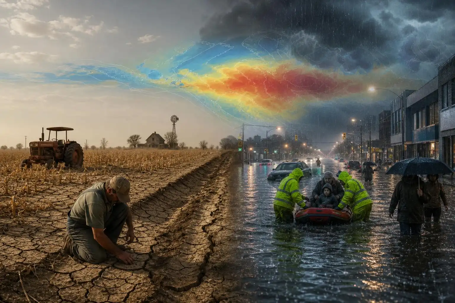
El Niño is often described as a patch of unusually warm water in the tropical Pacific, but that definition undersells what is now unfolding. When the central and eastern Pacific warm enough, the atmosphere reorganizes around that heat. Tropical rainfall shifts. Jet streams bend. Monsoons can weaken or intensify. Drought risk rises in some regions while floods surge in others.
That is why the latest warnings deserve attention. UK forecasters say this El Niño could become the most intense in more than a century, with unusually warm Pacific sea-surface temperatures raising the risk of drought, high heat, intense rainfall, and stormier weather in parts of the Northern Hemisphere as autumn and winter approach.[5] The important point is not that El Niño creates every disaster by itself. It does not. But it loads the dice, and in a warmer climate, those dice are being rolled on a hotter, wetter, more volatile planet.
The Panama Canal shows how climate stress becomes economic stress
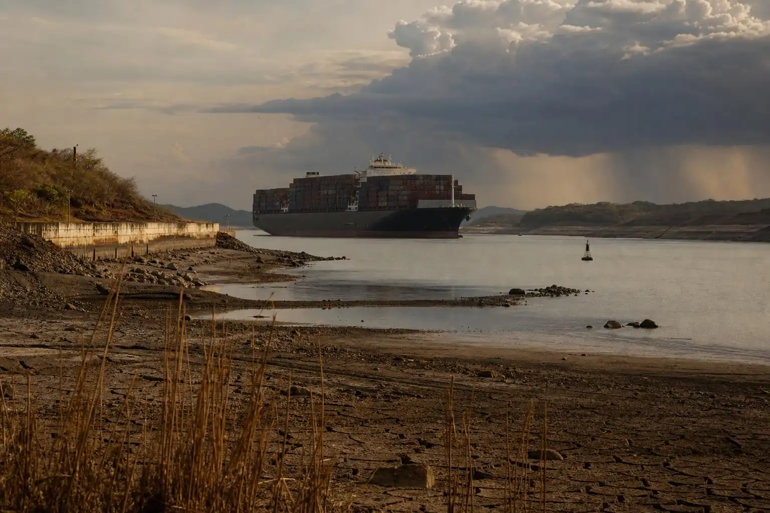
One of the clearest examples is the Panama Canal, where authorities are again preparing to limit shipping to conserve water ahead of expected extreme weather during El Niño.[1] The canal is not just a channel cut through land. It is a carefully managed freshwater system. Ships are lifted and lowered through locks, and every transit depends on available water.
Under normal conditions, the canal can accommodate about 40 vessels per day, but since June it has averaged about 35 daily transits.[1] That may sound like a small reduction until you remember that the waterway handles roughly 5 percent of global maritime trade.[1] When drought reduces reservoir levels, shipping delays can ripple into manufacturing, agriculture, energy markets, and consumer prices.
We saw this movie recently. A severe drought in 2023 cut Panama Canal traffic by roughly 36 percent, disrupting supply chains and adding costs for industries dependent on the route.[1] That drought was linked to El Niño conditions as well as the broader background warming driven by human activity.[1]
Meteorologically, this is a textbook example of how a climate pattern becomes a human systems problem. The first impact is hydrological: less rainfall, lower lake levels, tighter water management. The second impact is logistical: fewer ship slots, longer waits, rerouting decisions. The third impact is economic: higher costs and less reliability in a trade network built around predictable movement.
Drought, fire, and water scarcity are already forcing government action
Across the tropics and subtropics, governments are not waiting for the peak of El Niño to arrive. Indonesia has put experts on standby for cloud-seeding operations as officials try to suppress fires and prevent new ones from spreading during dry conditions.[3] In Honduras, officials have placed 80 percent of the country, including the capital, under drought alert after dry weather damaged harvests and killed livestock.[3] Sri Lanka has allocated millions of dollars to respond to severe drought, including emergency water deliveries to families every two to three days.[3]
These are not abstract climate impacts. A drought alert means farmers watching fields fail before harvest. It means ranchers selling livestock early or losing them outright. It means families rationing water for cooking, bathing, and sanitation. It also means public health risks can rise quickly, especially where heat, smoke, poor water quality, and food insecurity overlap.
El Niño commonly shifts rainfall away from some tropical regions, including parts of Southeast Asia and Central America, while increasing rainfall risk elsewhere. But the severity of the outcome depends on local vulnerability: reservoir capacity, emergency planning, crop choices, healthcare access, and whether people have the money to adapt.
On the other side of the pattern: extreme rain
While some regions dry out, others can be hit by remarkable rainfall. Japan and South Korea have just seen another reminder of how much water a warm atmosphere can wring out of storms. The Japan Meteorological Agency described recent heavy rain as an “unprecedented level” event, while Geoje, South Korea, recorded 124.5 mm of rain in one hour and more than 400 mm through the night.[2]
From a weather science standpoint, the physics are straightforward but sobering. Warmer air can hold more water vapor. When lift is present — from fronts, terrain, tropical moisture plumes, or slow-moving convective systems — that moisture can fall out in intense bursts. Urban areas are especially vulnerable because pavement accelerates runoff, drainage systems can be overwhelmed, and underground spaces such as subways and basements can become deadly in minutes.
The north Pacific is also active. Tropical Storm Saudel formed near Micronesia and is forecast to intensify, with the potential to become a very strong or even violent typhoon as it tracks toward the Northern Mariana Islands and later toward Okinawa Prefecture.[2] Meanwhile, Hurricane Lala passed near Hawaii, weakened, then restrengthened into a Category 4 hurricane after moving away from the islands.[2]
No single storm can be reduced to El Niño alone. Tropical cyclone behavior depends on wind shear, ocean heat content, steering currents, dry air, and internal storm structure. But strong El Niño events can alter the large-scale circulation patterns that influence where storms form, how they move, and which ocean basins become more or less favorable.
Record-warm seas are adding fuel outside the Pacific
The Pacific is the engine of El Niño, but it is not the only ocean raising alarms. Scientists with World Weather Attribution report that human-caused climate change has added about 2°C of warming to the Mediterranean and around 1.4°C to Western European seas.[4] That kind of marine heat can stress ecosystems, disrupt fisheries, and contribute to damaging weather on land.[4]
This matters because warm seas are not passive background scenery. They evaporate more moisture into the lower atmosphere. They can intensify heat stress along coasts, especially when humidity remains high overnight. They can help feed heavy rainfall events when storm systems tap into that moisture. And in semi-enclosed basins like the Mediterranean, marine heatwaves can have cascading impacts on tourism, fisheries, coral-like ecosystems, and coastal infrastructure.
Why this El Niño feels different
El Niño has always been part of Earth’s climate system. It comes and goes every two to seven years as the tropical Pacific shifts between warmer and cooler phases.[1] What is different now is the baseline. Global temperatures are higher. Ocean heat content is higher. Coastal populations are larger. Supply chains are more interconnected. More people live in floodplains, fire-prone landscapes, and cities where heat can become trapped overnight.
That means El Niño is arriving on top of existing strain. A drought that might once have been difficult can become a water emergency. A heatwave that once tested power grids can become a public health crisis. A heavy rain event can turn catastrophic when it falls on saturated ground or into a city built for yesterday’s rainfall statistics.
For meteorologists, this is the essence of compound risk. The hazard is not just “drought” or “flood” or “heat.” It is drought plus crop stress plus shipping limits. It is heavy rain plus urban runoff plus aging drainage. It is wildfire smoke plus heat plus vulnerable lungs.
What communities and households can do now
Preparedness will look different depending on where you live, but a few principles apply broadly:
- Track official forecasts, not viral weather maps. Use national meteorological agencies, local emergency managers, and trusted local meteorologists for decisions.
- Plan for water disruptions in drought-prone areas. Store emergency water where appropriate, repair leaks, and follow conservation rules early rather than waiting for crisis restrictions.
- Take flood warnings seriously. Never drive through flooded roads. Water depth and road integrity are often impossible to judge from a vehicle.
- Prepare for heat and smoke together. Know where cooling centers are, check on older neighbors, and use clean-air spaces when wildfire smoke is present.
- Businesses should review supply-chain exposure. Canal restrictions, port delays, drought-related crop losses, and storm disruptions can all affect pricing and availability.
The next several months will test more than weather forecasts. They will test reservoirs, farms, ports, emergency agencies, hospitals, and households. El Niño is a natural pattern, but its impacts are now unfolding in a world we have made more vulnerable in some places and better prepared in others.
The science gives us a warning. The question is how quickly we use it.
References
- Panama Canal to limit shipping ahead of extreme weather during El Nino — https://www.aljazeera.com/news/2026/8/21/panama-canal-to-limit-shipping-ahead-of-extreme-weather-during-el-nino
- Weather tracker: Extreme rain deluges Japan and South Korea — https://www.theguardian.com/environment/2026/aug/21/weather-tracker-extreme-rainfall-japan-south-korea
- Governments brace for historic El Nino impacts on global weather extremes — https://www.aljazeera.com/news/2026/8/20/governments-brace-for-historic-el-nino-impacts-on-global-weather-extremes
- Climate change is driving record heat in Europe’s seas, scientists say — https://www.reuters.com/sustainability/cop/climate-change-is-driving-record-heat-europes-seas-scientists-say-2026-08-18
- El Nino set to be most intense ‘for over a century’: UK forecasters — https://www.aljazeera.com/news/2026/8/21/el-nino-set-to-be-most-intense-for-over-a-century-uk-forecasters


Leave a Reply