

The weather map in mid-August looks less like a collection of isolated disasters and more like a connected warning system. The Pacific Northwest is fighting a historic wildfire season, the Midwest is cleaning up after deadly wind and flood damage, China is pushing for stronger disaster prevention after typhoon-driven flooding, and forecasters are now warning that El Niño may become exceptionally strong by the end of the year.
That combination matters. El Niño is not the cause of every extreme event on the planet, and no single storm or wildfire should be blamed on it alone. But when a powerful El Niño develops on top of a warmer climate, it can tilt the odds toward more dangerous weather patterns: hotter global temperatures, shifting storm tracks, drought in some regions, and excessive rainfall in others.[3]
The wildfire signal is already flashing red
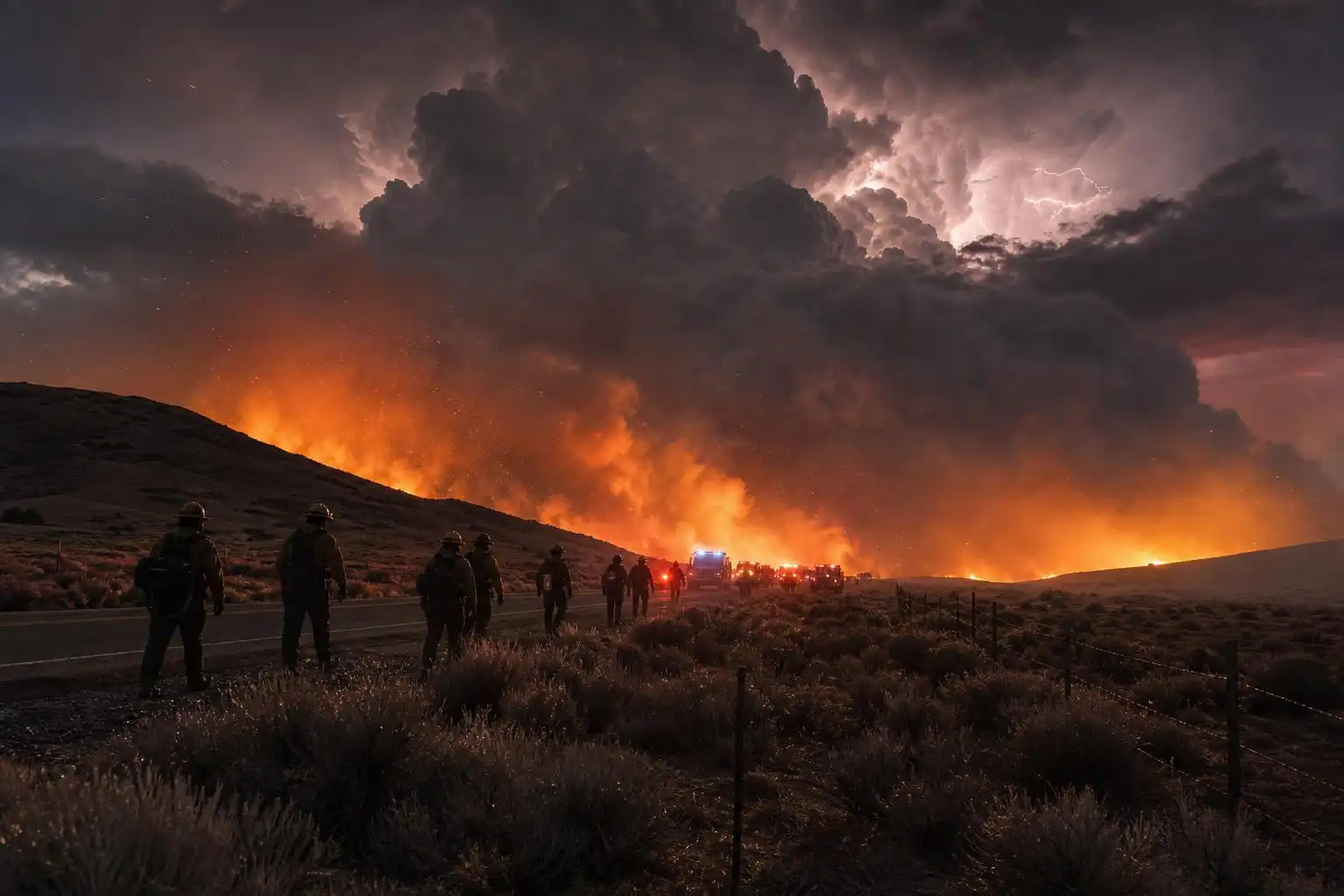
Across the western United States, the fire season has entered what former Washington governor Jay Inslee described as “unprecedented, dangerous territory,” with the Pacific Northwest facing multiple simultaneous wildfire threats.[1] As of early August, firefighters were battling 95 large fires across the United States, and more than 6.3 million acres had burned nationally since the start of the year, according to National Interagency Fire Center figures cited in reporting.[1]
The Pacific Northwest is especially concerning because it is a region where fuel conditions can change quickly. A wet spring may grow grasses and brush. A hot, dry summer can cure that vegetation into a continuous layer of fuel. Add wind, lightning, or human ignition, and fires can run hard through timber, grasslands, and the wildland-urban interface.
What makes this year’s fire danger more troubling is the broader climate background. Longer warm seasons, hotter extremes, and more frequent drought stress are giving fires more time and more opportunity to spread. Europe is seeing a similar pattern, with more than 1.3 million acres burned so far this year and extreme heat helping dry landscapes from France to Spain.[1]
Wildfire is often discussed in terms of acres, but the human impacts are more personal: evacuations, smoke-filled homes, lost livestock, closed highways, exhausted fire crews, and communities wondering whether they can safely rebuild in the same places. Smoke also turns a regional fire into a public health issue hundreds or even thousands of miles downwind.
El Niño may peak at a dangerous time
The latest forecasts are raising eyebrows. The U.S. Climate Prediction Center says there is a greater than 90% chance of a very strong El Niño during the Northern Hemisphere fall and winter of 2026–27, with a 69% chance that the October-to-December season could reach historic strength compared with El Niño events dating back to 1950.[3]
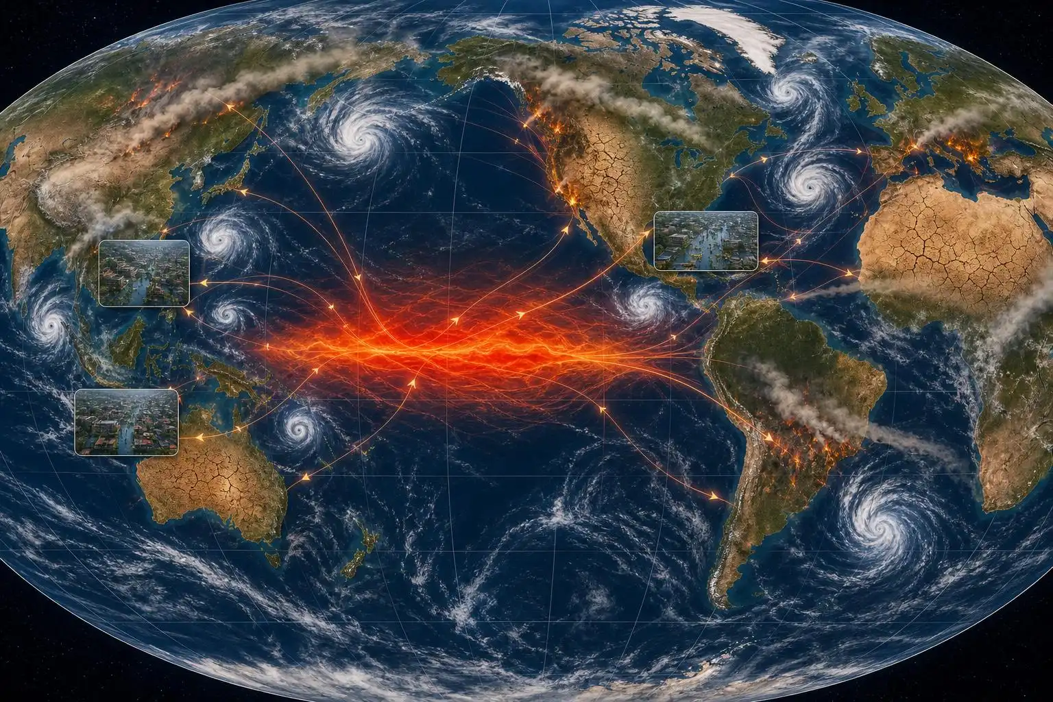
El Niño begins in the tropical Pacific, where weakened trade winds allow unusually warm water to build in the central and eastern equatorial Pacific. That ocean warmth transfers heat and moisture into the atmosphere, altering jet streams and rainfall patterns around the world.[3]
In North America, a strong El Niño often favors a wetter cool season across parts of the southern United States and can increase flood concerns in portions of the West. But the impacts are not uniform. The Pacific Northwest, northern tier, and interior West can still see warm, dry stretches depending on the position of the jet stream and the timing of storms.
Globally, the stakes may be even higher. The World Food Programme has warned that a powerful El Niño could push nearly 49 million additional people into acute food insecurity across vulnerable regions by the end of next year.[3] That is the kind of number that turns a climate pattern into a humanitarian issue.
The Amazon and other tropical regions are a major concern
One of the most consequential regions to watch is the Amazon. El Niño commonly suppresses rainfall across parts of the Amazon Basin, raising the risk of drought, river disruptions, heat stress, and fire. The rainforest is already under pressure from deforestation and warming temperatures, and a strong El Niño can add a sharp seasonal blow to a system that is critical for global carbon storage and regional rainfall recycling.[2]
The same reporting notes that major heat and fire impacts are being seen across multiple continents, including Canada, Indonesia, the Mediterranean, and parts of the Middle East, while Asia has dealt with record heat and destructive tropical rainfall.[2] That mix—some places burning while others flood—is exactly why El Niño can be so disruptive. It does not simply make the weather “worse” everywhere in the same way. It rearranges risk.
For meteorologists, that means looking beyond temperature anomalies alone. Soil moisture, snowpack, sea-surface temperatures, vegetation health, atmospheric rivers, tropical cyclone tracks, and jet stream behavior all become part of the same forecast puzzle.
The Midwest storm damage shows another side of the risk
While fires dominate the western headlines, the Midwest has been dealing with violent storms of its own. Powerful storms swept across the region this week, killing three people and leaving more than 800,000 customers without power across four states, with wind gusts over 80 mph tearing down trees and power lines.[4]
In Indiana, a four-year-old child died after a tree fell on a home, and officials in Ohio reported a death after flooding obstructed first responders.[4] These are the heartbreaking details that get lost when storms are summarized by radar images and outage maps.
Straight-line winds can be as destructive as weak tornadoes over a much wider area. When storms organize into bowing lines or derechos, they can produce widespread tree damage, power failures, blocked roads, and dangerous conditions for emergency crews. Add flash flooding, and response times can slow precisely when minutes matter.
This is one reason I tell people not to treat severe thunderstorm warnings as “less serious” than tornado warnings. An 80 mph wind gust can turn trees into falling hazards, flip high-profile vehicles, and damage roofs. If a warning mentions destructive winds, move indoors and stay away from windows.
China’s flooding highlights the infrastructure challenge
The same global pattern of extremes is stressing cities and infrastructure overseas. In China, President Xi Jinping called for stronger disaster prevention, better monitoring, improved early-warning systems, and upgrades to flood-control and drainage infrastructure after intense rains, floods, landslides, and typhoon impacts battered parts of the country.[5]
His comments included a blunt acknowledgment that as global warming continues, extreme weather events such as torrential rain, floods, typhoons, and droughts are increasing and becoming more destructive.[5]
That infrastructure message is relevant far beyond China. Many drainage systems were designed using rainfall statistics from a cooler climate. When short-duration rainfall becomes more intense, culverts, storm drains, retention basins, and flood walls can be overwhelmed. Urbanization adds more pavement, which accelerates runoff. The result is a higher chance that a heavy rain event becomes a transportation, housing, and public safety crisis.
What communities should do now
The most important preparation steps depend on the hazard, but the overall theme is the same: act before the warning is issued.
For wildfire-prone areas:
- Keep evacuation routes in mind and have a go-bag ready.
- Clear dry vegetation and combustible material away from homes where possible.
- Use N95 masks or clean indoor air spaces during heavy smoke.
- Follow local burn bans and avoid activities that can spark fires.
For severe storms:
- Treat destructive severe thunderstorm warnings seriously.
- Move away from windows when damaging winds are expected.
- Never drive through flooded roads.
- Keep phones charged when storms are forecast, especially overnight.
For flood-prone communities:
- Know whether your home, workplace, or school sits in a flood-risk zone.
- Have multiple ways to receive warnings.
- Avoid underpasses and low-water crossings during heavy rain.
- Support local investments in drainage, detention, and early-warning infrastructure.
The bottom line
A strong El Niño does not guarantee disaster in any one location. Weather is still local, and seasonal forecasts still carry uncertainty. But the background conditions are concerning: hotter oceans, hotter land, drier fuels in fire-prone regions, and more moisture available for heavy rainfall where storms develop.
That is the core lesson of this summer. Fire, flood, heat, wind, and food security are not separate stories anymore. They are overlapping risks in a climate system with more energy and less margin for error.
The next few months will test forecasts, emergency managers, power grids, water systems, and communities. The science is not saying every place will face the same danger. It is saying the atmosphere is loaded in ways that make preparation more urgent.
References
- ‘Unprecedented, dangerous territory’: US north-west reckons with a summer of historic wildfires — https://www.theguardian.com/us-news/2026/aug/10/us-wildfires-pacific-north-west
- El Niño may peak at the worst time for the Amazon – and it should worry us all — https://www.theguardian.com/environment/2026/aug/14/el-nino-predicted-peak-amazon-rainforest-climate
- US forecaster says more than 90% risk of a very strong El Nino — https://www.reuters.com/business/environment/us-forecaster-says-more-than-90-risk-very-strong-el-nino-2026-08-13
- Powerful storms in US midwest leave three dead and 800,000 without power — https://www.theguardian.com/us-news/2026/aug/12/midwest-storms-deaths-wind-power-outages-flooding
- Xi calls for improving disaster prevention as floods and landslides batter China — https://www.reuters.com/world/china/xi-calls-improving-disaster-prevention-floods-landslides-batter-china-2026-08-15


Leave a Reply