

An East Coast nor’easter and two Pacific hurricanes are putting very different communities on alert this weekend. From basement apartments in New York to roads on Hawaii’s Big Island, the immediate question is not just how strong each storm becomes. It is where water will go—and whether people can still travel safely when it arrives.
The East Coast faces a long-duration coastal storm
A strong nor’easter is expected to bring heavy rain, powerful gusts, rough surf and rip currents to parts of the coast from Maine to Washington, D.C. The National Weather Service warned that gusts could reach 55 mph in some areas, making driving difficult. New York City officials also cautioned residents about basement flooding, power outages and travel disruptions.[1]
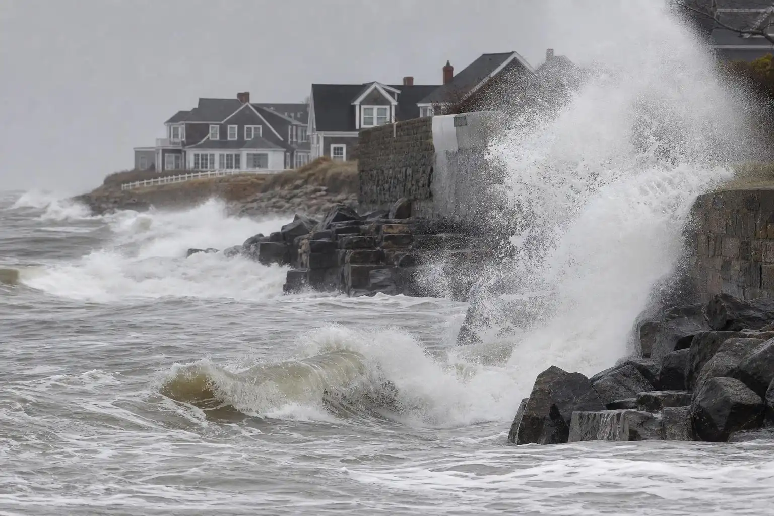
A nor’easter is a coastal low-pressure system whose winds often blow from the northeast along the shoreline. Those persistent onshore winds can push water toward beaches and bays. When strong winds, high tide and large waves overlap, flooding and erosion can worsen even where rainfall is not the main problem.
Parts of New Jersey and New York have declared states of emergency as coastal flooding, surf and erosion worsen. On Nantucket, the fire chief identified the storm’s duration, northeast winds around high tide and beach erosion as particular concerns.[2] A prolonged storm may produce more than one hazardous high-tide cycle, so a brief lull should not be mistaken for the end of the threat.
Travel and events are already feeling the effects
The Federal Aviation Administration said strong winds could disrupt flights at all three major New York City-area airports, while Amtrak warned of possible Northeast service disruptions. Organizers canceled Sunday’s Global Citizen Festival in Central Park, and professional baseball teams changed game schedules ahead of the weather.[1]
These changes are precautions, not proof that every location will experience the storm’s worst conditions. For travelers, however, the practical advice is the same: check the latest service updates before leaving, allow extra time and avoid driving through flooded streets. Coastal residents should follow local tide and flood alerts, especially if they live near low-lying roads or in basement units.
Hawaii’s flood risk is concentrated where land is already saturated
In the Pacific, Hurricane Nolo became a hurricane Thursday night and was forecast to strengthen as it turned toward Hawaii’s Big Island. Forecasters warned that the island could receive 15 to 30 inches of rain through Saturday, with locally higher totals possible. Maui could also face life-threatening flooding.[3] Those are forecasts, not measured storm totals; residents should use current local warnings as the storm evolves.
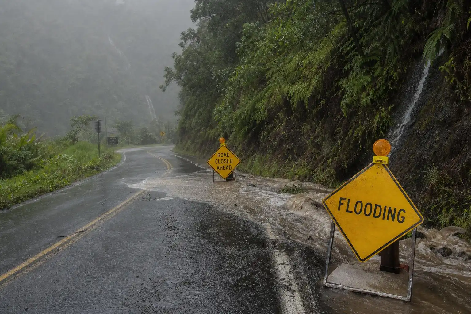
The heaviest rain was expected over the same southeastern Big Island area struck by Hurricane Lala in August. Ground there remains saturated, and earlier flooding washed out roads and isolated communities.[3] When soil has limited room to absorb more water, runoff can rise quickly. Steep terrain can then funnel that water into streams and across roads, making a familiar route dangerous with little warning.
Hawaii’s governor issued an emergency proclamation, more than 230 National Guard members were activated, and schools closed for the rest of the week.[3] People in flood-prone areas should keep evacuation information and essential supplies ready, and never attempt to cross a flooded roadway on foot or by car.
Polo shows how quickly a hurricane forecast can change
Farther east, Hurricane Polo has been moving along Mexico’s coast after fluctuating between Category 4 and Category 5 intensity. The National Hurricane Center expected it to regain Category 5 strength on Friday.[3] Its intensity alone does not tell us what any particular coastal community will experience; track, distance from shore and local warnings matter.
Polo’s peak winds increased by 110 mph in 24 hours, according to The Weather Channel—just shy of the 120 mph 24-hour increase recorded for Hurricane Patricia in 2015. Forecasters had identified conditions favorable for Polo’s rapid intensification.[4] It is a vivid reminder that a storm’s category can change faster than household plans can be made.
The storms affecting these coasts have different causes and different local hazards. Their shared lesson is more immediate than any single headline intensity: prepare for the water and wind expected where you live, and keep checking trusted local forecasts as conditions change.
References
- Nor’easter expected to disrupt travel, flood basements … — https://www.reuters.com/world/us/noreaster-expected-disrupt-travel-flood-basements-knock-out-power-along-us-east-2026-09-25
- Nor’easter intensifies as coastal communities brace for flooding, damaging waves — https://www.accuweather.com/en/weather-news/noreaster-intensifies-as-coastal-communities-brace-for-flooding-damaging-waves/1938380
- Hurricane Polo lashes Mexico as Nolo strengthens near Hawaii — https://www.aljazeera.com/news/2026/9/25/hurricane-polo-lashes-mexico-as-nolo-strengthens-near-hawaii
- Hurricane Polo exploded into a Category 5 in 24 hours — https://weather.com/2026/09/22/storms/hurricane/hurricane-polo-category5-rapid-intensification


Leave a Reply