

A disrupted polar vortex sounds like the opening act of a severe winter. But in mid-November, parts of the eastern United States face a more immediate concern: dry weather and the return of wildfire risk after a burst of storms. Meanwhile, a strong El Niño is shifting the odds of winter rain and snow across North America. These signals matter, but none is a forecast that every community will get the same kind of winter.
The polar vortex has been disrupted unusually early
In October, winds high above the Arctic reversed during a major sudden stratospheric warming event—the earliest such event in records dating to 1958, according to The Weather Channel. Most major events of this kind occur in January or February. The warming took place in the stratosphere, far above the weather people experience at ground level.[2]
A disrupted stratospheric vortex can eventually alter the jet stream and help cold air move south, but that connection is neither immediate nor guaranteed. Cold outbreaks can also happen without a vortex disruption. The practical question for Thanksgiving week is not simply whether the vortex is weak; it is whether its effects reach the lower atmosphere and line up with a pattern that can deliver cold air to a particular region.[2]
There is another complication: The Weather Channel reports unusually limited snow cover across North America for this point in the season. Snow-covered ground helps preserve cold air near the surface. A change in atmospheric circulation, therefore, does not automatically translate into a deep freeze at home.[2]
The East’s near-term hazard may be drying ground
On November 12, severe weather brought rare November tornadoes to Delaware, large hail to Pennsylvania and flash flooding to New York, according to AccuWeather. A wintry weekend is set to follow in parts of the Northeast, but forecasters expect another stretch of dry, sunny weather across a wider area afterward. A few cold, wet days do not necessarily erase a longer rainfall deficit.[3]
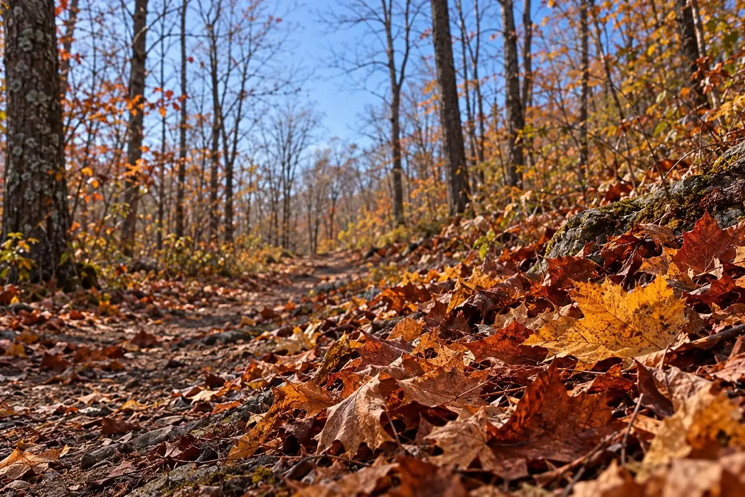
AccuWeather reports that many eastern areas received less than half their historical average rainfall over the past month. As fallen leaves dry out again, wildfire danger can rise even where the weekend brought showers or snow. That is an easy risk to overlook in November, when people tend to associate fire weather with the West or with summer.[3]
For residents, the useful response is specific rather than dramatic: follow local burn restrictions, avoid burning leaf piles when conditions are dry, and use grills or outdoor power equipment with care. A forecast for sunshine is also a reason to check how quickly vegetation is drying—not just a welcome break from storms.
El Niño shifts the winter odds, not the outcome of each storm
El Niño typically pushes the Pacific jet stream farther south, steering more rain-bearing systems across the southern United States. That can raise the risk of flooding rain in the South and on the West Coast while favoring warmer, drier conditions in some northern areas. California’s recently burned landscapes are especially vulnerable to mudslides if intense rain arrives.[1]
More southern precipitation can mean substantial mountain snow in California and the southern Rockies. Snow at lower elevations is a different proposition: A storm needs enough cold air in place at the right time. Even around Washington, D.C., where some El Niño winters have been notably snowy, the pattern does not guarantee snow. The BBC notes that El Niño may also increase the likelihood of a disturbed polar vortex later in winter, adding another possible influence rather than settling the forecast.[1]
The emerging winter picture is therefore less a contest between El Niño and the polar vortex than an interaction among ocean temperatures, the jet stream, available cold air and individual storms. A seasonal outlook tells us where to watch more closely. It cannot tell us today whether a particular southern storm will bring rain, snow or a damaging flood.
A warmer climate raises the stakes without choosing the weather
The World Meteorological Organization’s analysis, reported as climate talks began this month, says the current El Niño is on track to be exceptionally intense and warns of heightened risks from floods in some places and heat or drought in others. It also reports record greenhouse gas concentrations in 2025. Those long-term conditions form the backdrop to this winter’s hazards, but they do not make every cold snap, fire or storm an automatic consequence of El Niño or climate change.[5]
For communities, the sensible approach is to plan for the hazards their forecasts actually show. In the dry East, that means watching fire conditions even after a chilly weekend. In flood-prone parts of the South and California, it means keeping an eye on heavy-rain forecasts and local alerts. And everywhere, it means treating a headline about the polar vortex as a reason to stay informed—not as proof that a historic freeze is on the way.
References
- What might El Niño mean for winter weather in the US and Canada? – BBC Weather — https://www.bbc.com/weather/articles/c6pvg22k2w2do
- Weak polar vortex may help chill US by Thanksgiving week — https://weather.com/2026/11/12/forecast/national/polar-vortex-thanksgiving-week-cold
- New extended stretch of dry, sunny weather awaits Northeast after wintry weekend — https://www.accuweather.com/en/weather-forecasts/new-extended-stretch-of-dry-sunny-weather-awaits-northeast-after-wintry-weekend/1957982
- Planetary extremes are ‘off the charts’ as world’s biggest climate talks kick off — https://www.accuweather.com/en/climate/planetary-extremes-are-off-the-charts-as-worlds-biggest-climate-talks-kick-off/1956322


Leave a Reply
You must be logged in to post a comment.