The atmosphere is giving us one of those signals meteorologists do not ignore: the tropical Pacific appears to be shifting toward El Niño, and the timing could matter for nearly every major weather risk we track—heat, drought, flooding, hurricanes, wildfire smoke, and food security.
According to the World Meteorological Organization, there is now an 80% chance that El Niño develops between June and August, and a 90% chance it lasts at least into November[1]. Some forecast models suggest this event could become “strong,” generally meaning sea surface temperatures in the eastern tropical Pacific climb at least 1.5°C, or 2.7°F, above average[1].
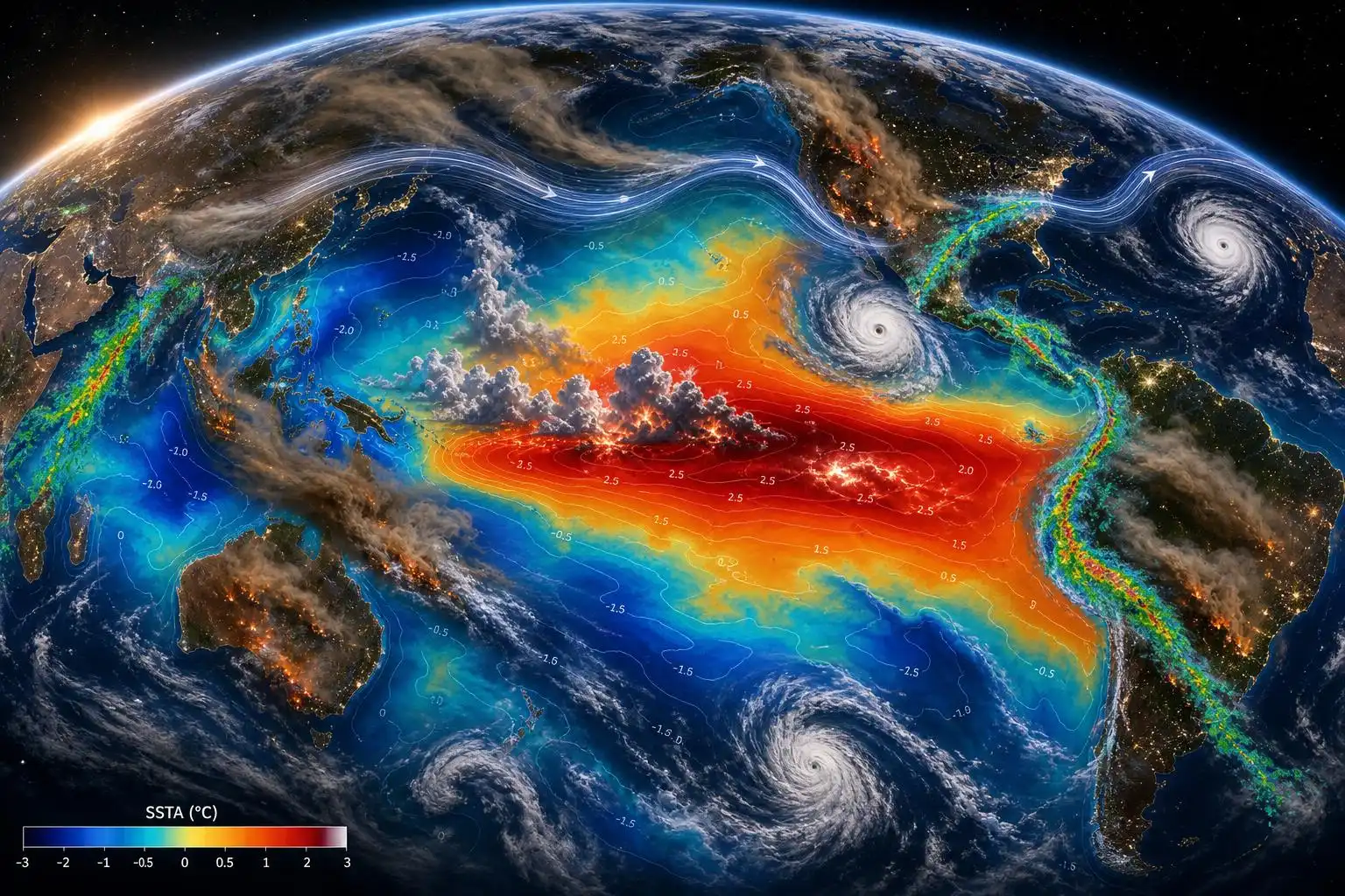
That does not mean every region will experience disaster. El Niño is not a storm, and it does not create one universal weather outcome. But it does tilt the odds. It rearranges heat and moisture across the tropics, disrupts jet streams, changes wind shear over hurricane basins, and alters where drought and heavy rainfall are more likely. In a cooler climate, that would already be a big deal. In today’s climate—about 1.3°C warmer than pre-industrial levels—the same natural pattern is riding on a hotter baseline[1].
That is the part that deserves attention.
El Niño is natural. The background heat is not.
El Niño occurs when the normal easterly trade winds across the equatorial Pacific weaken. Under neutral conditions, those winds push warm surface water westward toward Asia and allow colder, deeper water to upwell near the coast of South America. During El Niño, that pattern relaxes. Warm water spreads eastward across the central and eastern Pacific, releasing heat into the atmosphere and shifting tropical rainfall patterns[5].
This ocean-atmosphere coupling can influence weather far from the Pacific. Some areas become more prone to drought. Others see greater odds of flooding rains. Global average temperatures often get an added boost during the active phase of El Niño[5].
What is different now is the amount of heat already stored in the climate system. A strong El Niño does not need to “invent” extreme heat. It can simply help redistribute and expose heat that is already there. That can sharpen heat waves, worsen drought stress, intensify heavy rainfall events, and raise the stakes for agriculture and water management.
The 2023–2024 El Niño was among the five strongest on record and contributed to 2024’s record-breaking global temperature spike[2]. If another strong event develops soon, the world will be watching not just the Pacific Ocean, but the cascade of impacts that follow from it.
What it could mean for hurricane season
For the Atlantic basin, El Niño usually suppresses hurricane activity. It tends to increase vertical wind shear—changes in wind speed or direction with height—which can tear developing tropical systems apart before they organize. That is one reason NOAA has projected a quieter-than-usual Atlantic hurricane season, with a 55% chance of below-normal activity, a 35% chance of near-normal activity, and a 10% chance of above-normal activity[5].
But “below normal” is not the same as “safe.” A single landfalling hurricane can define a season. The United States has seen 7,211 hurricane-related deaths from 1980 through 2024, with about $1.55 trillion in economic losses over that period[5]. Katrina, Maria, and Helene are reminders that seasonal totals matter less to coastal communities than where the worst storm goes.
El Niño also changes tropical cyclone risk elsewhere. More storms can form near Hawaii during El Niño years, and storm activity in the Australia region often decreases while the favored development zone shifts eastward into the South Pacific near and east of the international dateline[5]. That shift matters for island communities, shipping, emergency planning, and insurance risk.
The forecast problem: we need the ocean data
Here is where the story gets more troubling. Just as El Niño risk is rising, scientists are warning that proposed cuts to U.S. ocean monitoring could weaken the world’s ability to see these changes clearly.
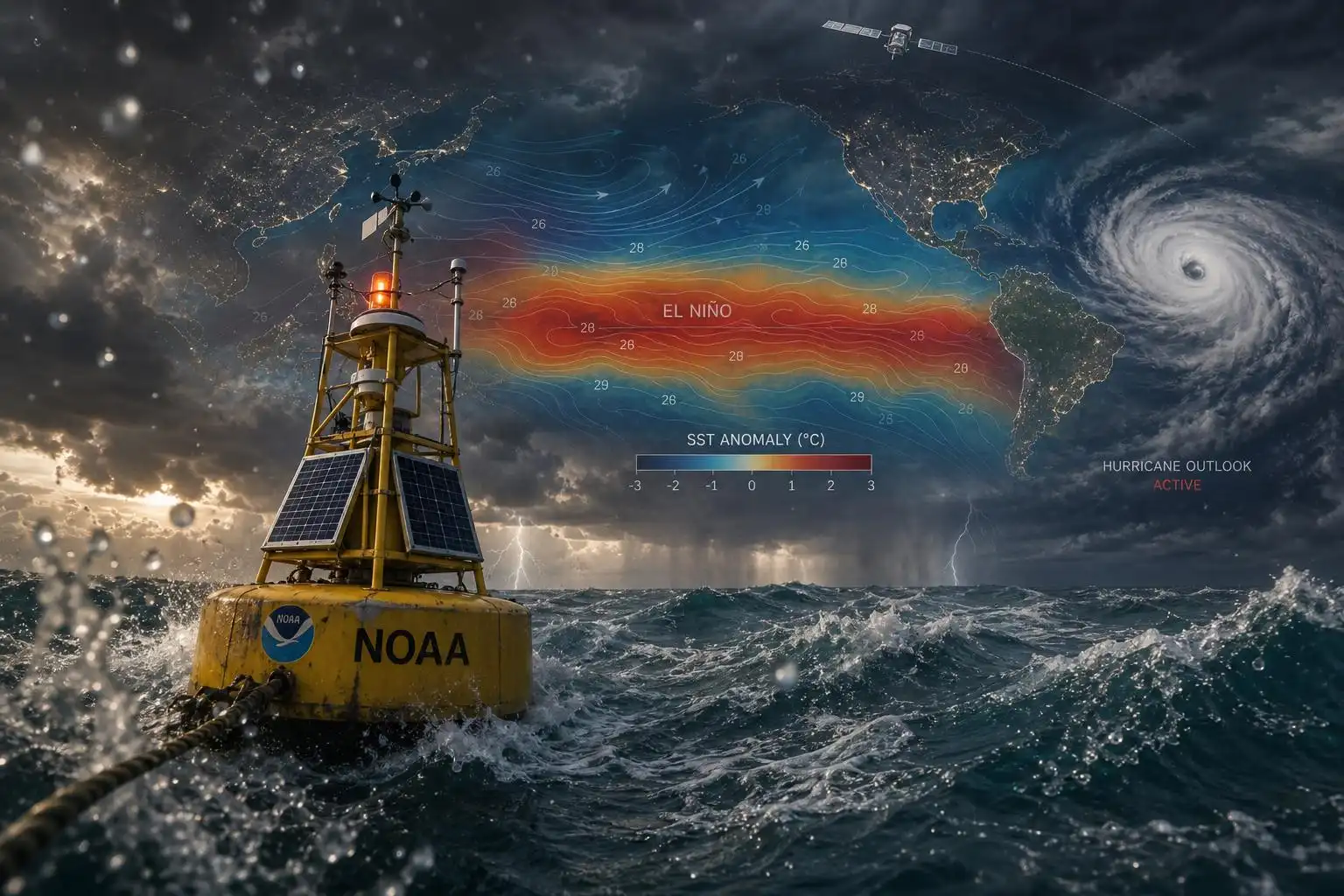
Ocean observations are not a luxury item in weather forecasting. They are part of the foundation. Buoys, floats, moorings, and ocean observatories help measure sea surface temperatures, subsurface heat, salinity, currents, and air-sea exchanges. Those data feed models that predict El Niño, tropical storms, marine heat waves, and longer-term ocean warming.
Scientists quoted by The Guardian warned that dismantling parts of the U.S. ocean monitoring system would not stop forecasts entirely—but it could make them degrade, “sometimes dangerously so”[2]. Research cited in that report found that removing U.S. observations alone would produce a 163% increase in error for annual ocean heating rate estimates[2].
That is not just an academic problem. Farmers in the United States and South America use El Niño forecasts to make planting decisions months in advance. Emergency managers use ocean and atmosphere data to prepare for tropical cyclone risk. Insurers, water agencies, fisheries, ports, and power grid operators all depend on accurate early warning systems[2].
Another proposed dismantling effort involves the Ocean Observatories Initiative, including instruments that help scientists understand deep ocean mixing and climate processes such as the Atlantic Meridional Overturning Circulation, or AMOC[4]. That may sound distant from daily weather, but the ocean is the planet’s heat reservoir. If we lose the ability to monitor how heat moves through it, we lose precision in the forecasts communities increasingly depend on.
Wildfire risk does not disappear in an El Niño year
El Niño’s wildfire impacts vary strongly by region. In some places, wetter conditions may reduce fire danger. In others, heat, drought, wind, and vegetation stress can raise the risk of fast-moving fires. The bigger lesson from recent wildfire research is that burned area alone does not tell the full story.
A recent study highlighted by The Guardian found that fewer hectares are burning globally, yet wildfires are increasingly devastating wealthier and more developed areas[3]. That is a critical distinction. A smaller fire in the wrong place—pushed by wind into neighborhoods, power lines, transportation corridors, or critical infrastructure—can become a major disaster.
The same report noted that Canada has recorded extreme wildfire emissions for three consecutive years. Since 2023, North American boreal forests have emitted close to 4 billion tonnes of CO2, exceeding the total emissions of the previous 15-year period[3]. Smoke is also a public health hazard. Fine particles can travel thousands of miles, affecting people far from the flames.
This is where El Niño, climate change, and land management overlap. Hotter air increases evaporation and can dry fuels faster. Drought can stress forests and grasslands. Wind events can turn an ignition into a fast-spreading emergency. As one wildfire expert put it, the challenge is not only reducing the number of fires, but increasing the resilience of landscapes and communities to extreme events[3].
What communities should watch next
The next few months will be important. Meteorologists will be watching sea surface temperature anomalies in the central and eastern Pacific, trade wind behavior, subsurface ocean heat, and how consistently the atmosphere responds to the warming ocean. A true El Niño is not just warm water—it is a coupled ocean-atmosphere pattern.
For the public, the message is practical:
- Do not assume a quieter Atlantic forecast means no hurricane danger. Coastal residents should prepare the same way every year: review evacuation routes, insurance, medications, documents, and backup power plans.
- Watch for flood risk in regions favored for El Niño rainfall. Clear drains, avoid flooded roads, and know whether your home or workplace is in a flood-prone area.
- Prepare for heat as a health hazard. Heat waves are often underestimated because they lack the drama of a tornado or hurricane, but they are among the deadliest weather events.
- Take wildfire smoke seriously. If smoke reaches your area, monitor air quality, reduce outdoor exertion, and use properly fitted masks or indoor filtration when needed.
- Support strong observing networks. Better forecasts begin with better measurements. Satellites, buoys, ocean moorings, weather balloons, radars, and surface stations save lives by buying time.
El Niño is part of Earth’s natural rhythm. But the world it is entering is warmer, more built-out, and more vulnerable in many places than it was a generation ago. That makes preparation more important—not less.
The science is giving us a heads-up. The question now is whether we keep enough eyes on the ocean and atmosphere to use that warning wisely.
References
- A strong El Nino may be imminent. Climate change will make its effects worse – Reuters
- Scientists warn Trump plan to axe US ocean monitoring system will leave world ‘flying blind’ – The Guardian
- Wildfires devastating richer areas but fewer hectares burned globally – study – The Guardian
- Dismay as Trump officials to dismantle key ocean monitoring system – The Guardian
- How could El Nino reshape tropical storms around the world this year? – Al Jazeera
Leave a Reply