
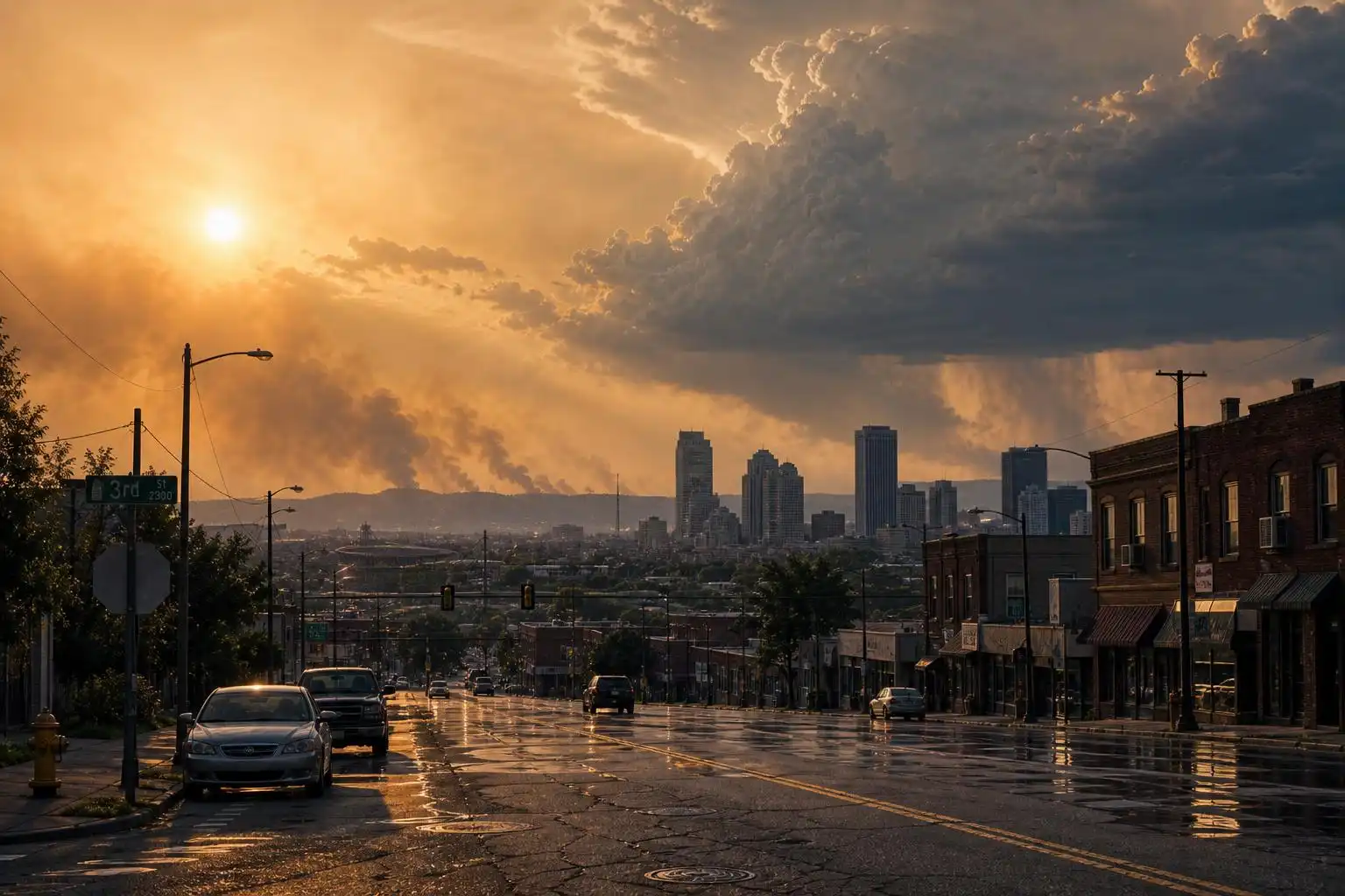

America’s summer weather map has taken on a troubling three-part signature: smoke in the East, floodwater in Texas, and expanding wildfire activity in the West. For meteorologists, the individual hazards are familiar. What stands out this week is the way they are overlapping—stretching emergency managers, public health officials, and families who may be told to stay inside for smoke one day, avoid floodwaters the next, and prepare for dangerous heat on top of it all.
Reuters reported Friday that wildfire smoke from Canada had turned skies orange-brown from Minneapolis to Washington, D.C., while floodwaters continued tearing through Texas Hill Country and 68 large fires burned across 15 states.[1] Nearly 3.72 million acres have burned nationwide so far this year, already more than 1 million acres ahead of last year’s mid-July pace.[1] That is not just a fire statistic—it is a public health signal, because burned acres can translate into days of degraded air quality hundreds or even thousands of miles downwind.
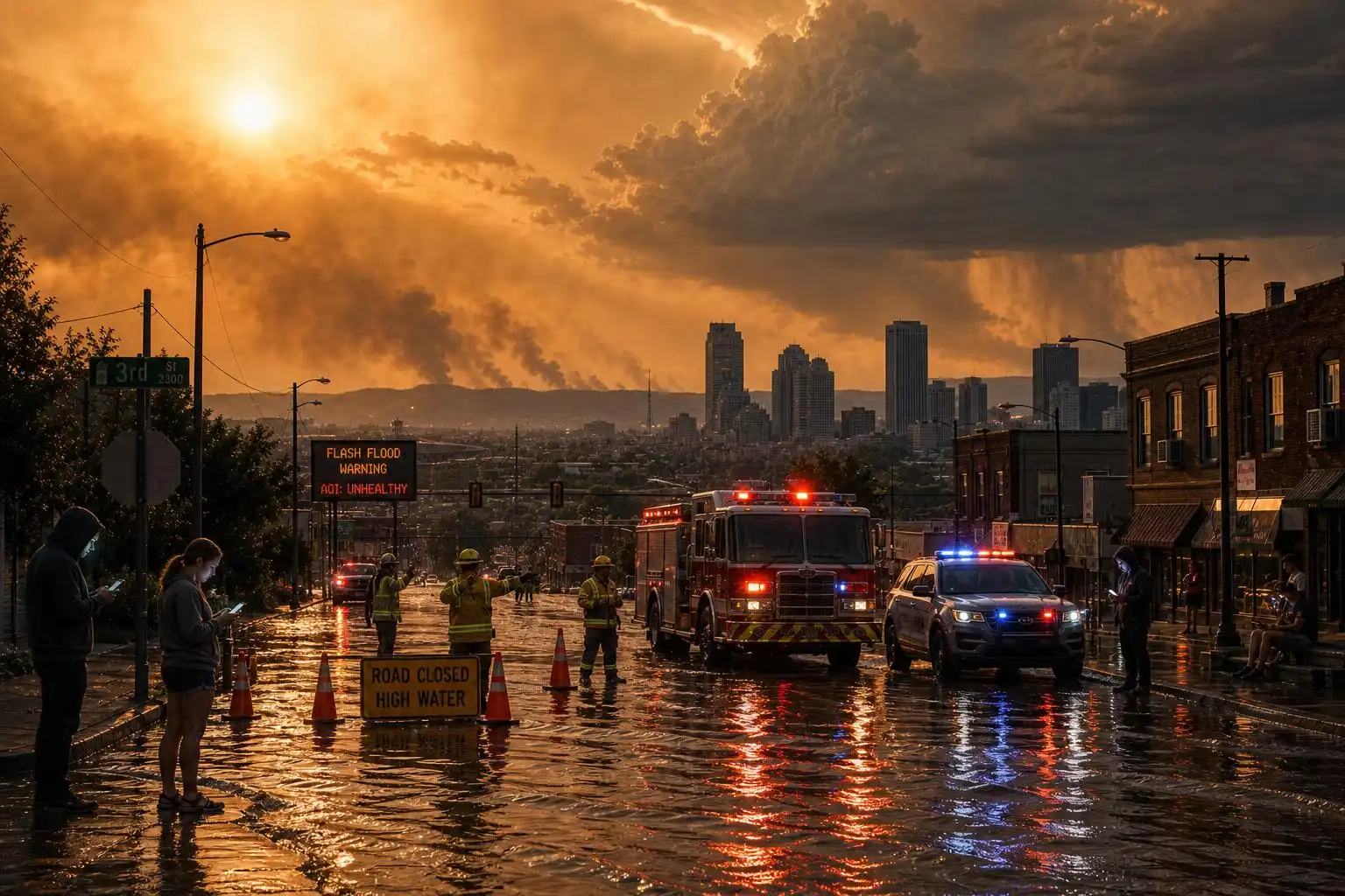
The smoke problem is especially hard because it does not respect state lines. More than 100 wildfires in Canada have been sending smoke southeast, prompting unhealthy air warnings from Minnesota through Toronto and into New York, according to the Associated Press.[4] In Minnesota, thousands of visitors were told to evacuate a remote wilderness area accessible only by boat as smoke and fire risk intensified.[4] That kind of evacuation is a reminder that wildfire danger is not limited to homes at the forest edge; it also affects campers, boaters, outfitters, park staff, and rural communities that depend on summer tourism.
The health message is straightforward but not always easy to follow: smoke and heat together are worse than either hazard alone. National Weather Service meteorologist Tyler Hasenstein told AP that the best advice during the Minnesota smoke episode was to stay indoors to avoid both smoke and extreme heat, adding that the combination is “not good from a health perspective.”[4] Fine particulate matter in wildfire smoke can irritate lungs, aggravate asthma and heart disease, and raise risks for older adults, children, pregnant people, outdoor workers, and anyone without access to filtered indoor air.
At the same time, a dangerous heat dome is building across much of the country. Forecasters expect triple-digit highs in parts of the Southwest and Great Plains before the heat spreads eastward, with temperatures in many areas running 15 to 25 degrees Fahrenheit above normal.[2] The setup could affect as much as two-thirds of the continental United States, and the most dangerous part may be the nights: when overnight temperatures stay unusually warm, the human body loses its chance to recover.[2]
Meteorologically, a heat dome forms when a strong area of high pressure settles over a region. Air sinks, warms, and dries; clouds and storms are suppressed; and the same air mass can bake for days. AP reported that the current dome is one of the strongest to affect the Dakotas in 25 years, with record triple-digit highs expected in Nevada, Utah, Colorado, Wyoming, Idaho, Montana, North Dakota, and South Dakota.[2] When this pattern overlaps with wildfire smoke, the usual heat advice—open windows at night, get outside early, use fans—can become complicated or even unsafe if outdoor air quality is poor.
Then there is the flood side of this summer pattern. In Texas, flash flood emergency orders were issued Thursday in two counties, including the county where Camp Mystic is located; Governor Greg Abbott reported two deaths and said more than 70 people had been rescued.[5] Flash flooding in Hill Country is especially dangerous because steep terrain, shallow soils, and narrow valleys can turn heavy rainfall into fast-rising water with very little warning. A creek that looks manageable at lunch can become a deadly current before evening.
The physics behind heavier rainfall is not mysterious. A warmer atmosphere can hold more water vapor—roughly 7% more for every 1 degree Celsius of warming—so when storms do form, they can wring out more rain in shorter bursts. The Guardian noted that heavy rainfall is more likely to produce flash flooding in hilly terrain, dense urban areas with lots of pavement, and canyons where people can be trapped by rapidly rising water.[5] Aging infrastructure compounds the problem: some cities still rely on pipes more than a century old, and experts warned that those systems simply cannot carry the kind of rainfall now occurring more often.[5]
One of the larger atmospheric questions this week is why these extremes are lining up at the same time. University of Pennsylvania climatologist Michael Mann told Reuters that the events are linked by a jet stream wave pattern that may involve “resonance,” where large waves in the jet stream become amplified and trapped, allowing extreme weather to persist over the same regions.[1] Mann said his research shows human-driven climate change has led to a tripling of these stalled jet stream events since the 1950s.[1]
That does not mean every smoke plume, flood, or hot afternoon has one simple cause. Weather is always a mix of natural variability and background climate conditions. But climate change increasingly acts like a force multiplier: hotter baseline temperatures raise heat-wave ceilings, dry vegetation faster, increase evaporation, and load storms with more moisture. When the jet stream stalls, those loaded conditions can stay locked in place long enough to turn a bad weather week into a disaster.
El Niño adds another layer. NOAA confirmed last month that warming conditions were taking hold in the tropical Pacific, and analysts cited by The Guardian warned the 2026-27 El Niño has a historically unusual chance of becoming very strong, with a 63% chance of sea surface temperatures exceeding 2 degrees Celsius above normal later this year.[3] AP also reported that NOAA placed the odds of a “very strong” El Niño by fall at 81%.[2] El Niño does not control every regional weather pattern, and this young event may not be the main driver of the current heat wave. But a strong El Niño can shift storm tracks, influence drought and flood patterns, and push global temperatures higher.
The food system may feel those impacts long after the smoke clears. Economists warned that a “super” El Niño could create a severe shock to global food prices lasting into 2028, especially if droughts and floods hit major harvest regions while supply chains are already under pressure.[3] Past strong El Niño events have disrupted agriculture around the world, and the concern this time is that climate change is raising the stakes around a naturally recurring Pacific pattern.[3]
For households, the immediate safety steps are practical. During smoke events, check the Air Quality Index, keep windows closed, use a HEPA filter or a clean-air room if available, and avoid strenuous outdoor activity when air quality is unhealthy. During extreme heat, drink water before you feel thirsty, check on neighbors, never leave children or pets in vehicles, and treat confusion, fainting, or hot dry skin as possible heat illness. During flash flood threats, do not drive across water-covered roads; it takes surprisingly little moving water to float a vehicle.
For communities, the lesson is bigger. We are entering an era when emergency plans cannot treat heat, smoke, fire, and floods as separate boxes on a checklist. Cooling centers need filtered air. Flood warnings need to reach campers and tourists, not just residents. Fire evacuations need to account for people without cars, people with medical equipment, and roads that may already be clogged by other disasters. Infrastructure built for last century’s rainfall and temperature ranges is being tested by this century’s atmosphere.
This week’s triple threat is not just a snapshot of a difficult summer. It is a preview of compound weather risk—where the atmosphere stacks hazards together and communities have to respond to all of them at once. The science is telling us why these patterns are becoming more dangerous. The hard part now is turning that knowledge into preparedness before the next smoke-filled, flood-prone, dangerously hot week arrives.
References
- Smoke, fire, floods: US faces triple extreme summer weather threats – Reuters — https://www.reuters.com/business/environment/smoke-fire-floods-us-faces-triple-extreme-summer-weather-threats-2026-07-17/
- Dangerous heat wave is building, will bring oppressive temperatures to much of the United States – AP News — https://apnews.com/article/heat-wave-dome-weather-808787f73a64aecbffb334b4fcbf33b6
- ‘Super’ El Niño could cause global food price shock lasting into 2028, analysts say – The Guardian — https://www.theguardian.com/business/2026/jul/12/super-el-nino-severe-shock-global-food-prices-lasting-into-2028-economists-warn
- Busy wildfire season continues exposing millions in the Midwest and Northeast US to dangerous smoke – AP News — https://apnews.com/article/wildfires-smoke-canada-minnesota-08d3fb58a434a5d42803ab1c2bbda0b3
- Climate change driving more rains that lead to deadly flash floods, experts say – The Guardian — https://www.theguardian.com/us-news/2026/jul/17/climate-change-rains-flash-floods


Leave a Reply
You must be logged in to post a comment.