
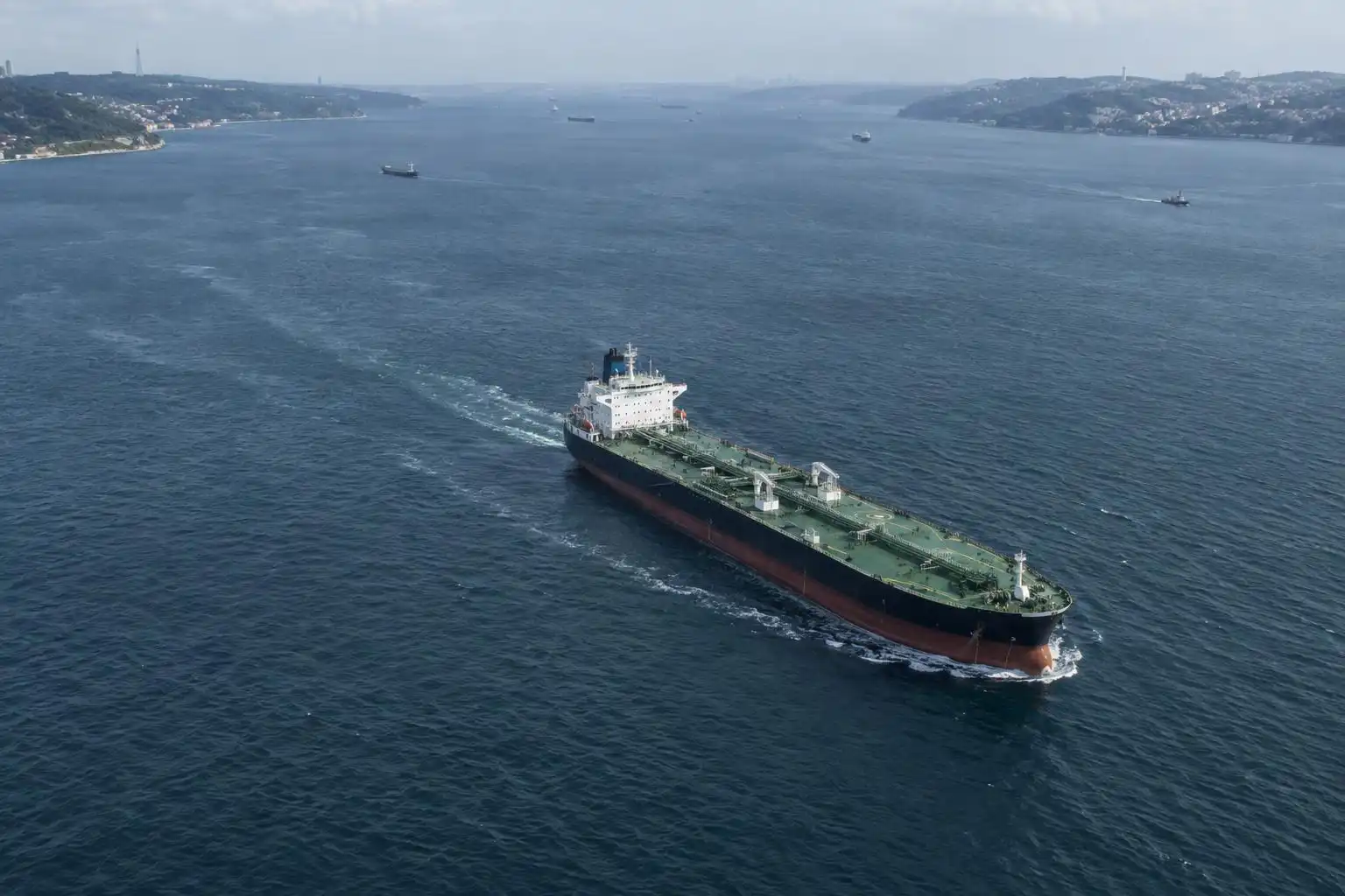

A tanker icon moving through the Strait of Hormuz can look like an answer to a pressing question: Is shipping returning to normal? It is evidence of a vessel’s reported movement, but not proof that other ships can make the same journey safely or that trade has recovered.
That distinction matters whenever a possible reopening becomes a headline. A single crossing may be important. The stronger test is whether vessels keep crossing, carriers resume schedules and the costs of making the trip begin to ease.
What a ship-tracking map shows
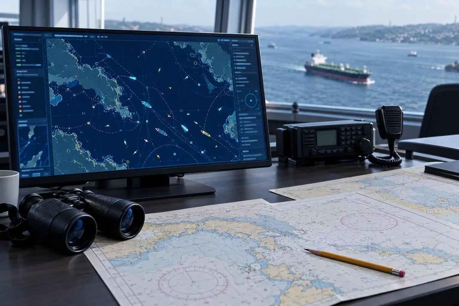
Public ship-tracking services generally display signals from the Automatic Identification System, or AIS. A vessel can broadcast its identity, position, speed and course, allowing people to follow its reported route. These maps offer a useful starting point for checking a transit claim.
They have limits. Signals can be interrupted, delayed or absent, and a displayed position does not establish what happened throughout a voyage. A ship’s stated destination can change. A gap on a map is not, by itself, evidence of an attack or a deliberate attempt to hide.
Nor does the passage of one tanker establish that the route is open on workable terms for everyone else. Ships differ in their cargoes, owners, insurers and willingness to accept risk. A crossing shows what that vessel did; it does not reveal the decisions other operators face.
Safety and commercial confidence are separate tests
A genuine recovery would require more than the physical ability to navigate the strait. Shipowners need confidence that vessels and crews will not face unacceptable danger. Insurers must be willing to cover voyages at rates operators can afford. Charterers need ships, and ports must be able to receive them.
These conditions can change at different speeds. Even if a security announcement reduces the immediate threat, an operator may wait for clearer guidance or evidence from other voyages. Conversely, some ships may proceed while others stay away. Calling either situation a complete reopening would flatten an important distinction.
What would make a stronger headline
The most useful reporting would bring several kinds of evidence together:
- Repeated crossings: Do different vessels complete transits over several days, rather than one ship making one trip?
- Operational decisions: Are carriers and charterers restoring voyages they had postponed?
- Risk costs: Are insurance terms and other voyage costs becoming less restrictive?
- Official guidance: Are maritime authorities reporting a sustained change in conditions?
No single measure settles the question. Together, they offer a more reliable picture of whether a route is becoming usable again, not merely whether passage was possible once.
Why the distinction reaches beyond the strait
Hormuz matters to energy markets because a large share of internationally traded oil moves through it. But a reassuring maritime signal does not immediately translate into cheaper fuel. Cargoes take time to arrive and be processed, while prices reflect inventories, contracts, taxes and expectations about future supply.
The careful reading of a reopening claim is therefore neither to dismiss an individual transit nor to treat it as a final verdict. Ask what the evidence actually establishes, what remains uncertain and whether the next several voyages confirm the pattern. A map can show a ship on the move. A return to dependable trade takes more to demonstrate.


Leave a Reply
You must be logged in to post a comment.