
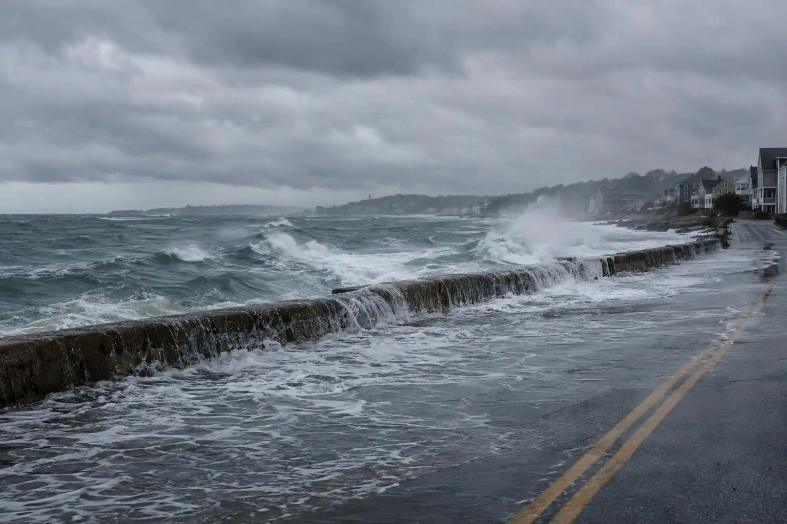

A coastal storm does not have to make landfall to disrupt life on shore. A slow-moving nor’easter offshore can push water toward beaches, roads and harbors for days, even while neighborhoods a few miles inland stay dry. That contrast is at the heart of a late-October forecast for the U.S. Atlantic Coast: gusty onshore winds and tidal flooding are possible from North Carolina to Massachusetts.[5]
Why a distant storm can flood the coast
A nor’easter is a low-pressure system whose circulation can drive persistent northeast winds along the East Coast. When those winds blow toward land, they pile water against the shoreline. The longer they persist, the more difficult it can be for water to drain from vulnerable streets and marshes between high tides.
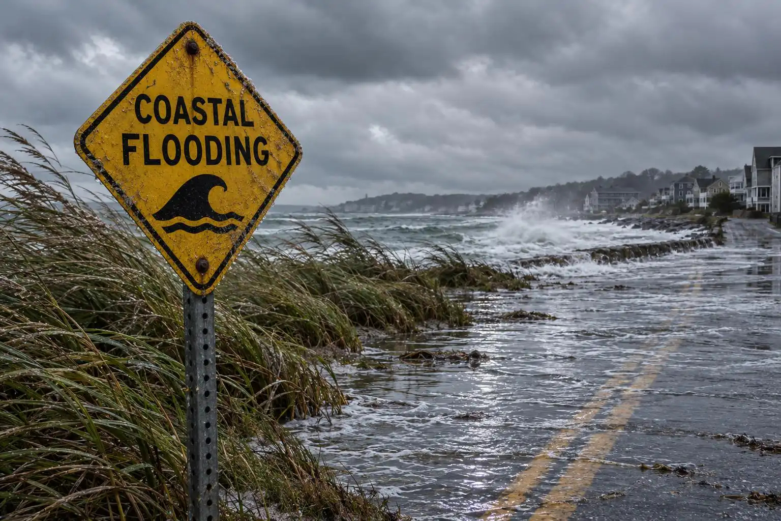
Rainfall is not the only measure of this storm’s danger. AccuWeather’s forecast describes a coast-facing wind and tidal-flooding threat while inland areas largely remain dry.[5] Someone looking out at a rain-free driveway could still find a familiar waterfront route impassable later in the day.
The forecast also places the onshore wind setup near a full moon, when astronomical high tides are elevated. Wind-driven water arriving on top of a high tide can turn a nuisance-flooding location into a more consequential problem. The severity at any one block will depend on the storm’s position, wind duration, local shoreline shape and the timing of the highest tide.[5]
The next coastal threat may shift south
Forecasters are also watching the possibility of another low-pressure area forming near the Bahamas as the current storm moves away. In that scenario, the strongest surf and beach erosion could shift farther south, potentially affecting Florida. AccuWeather identifies Charleston, South Carolina, and Miami as cities that could have trouble during above-normal tides.[5]
That is a forecast possibility, not a second storm already guaranteed to develop. Small changes in a low’s track and the surrounding high pressure can alter where winds blow onshore most strongly. For coastal residents, the useful question is not simply whether a storm has a name or takes on tropical characteristics. It is whether local forecasts call for water over roads, dangerous surf or erosion at the next high tide.
El Niño is context, not an explanation for one storm
The coastal forecast arrives during a strengthening El Niño. BBC Weather reports droughts, floods and heatwaves in several countries alongside the evolving Pacific pattern.[3] El Niño can influence seasonal weather odds by changing tropical Pacific ocean temperatures and atmospheric circulation, but it does not by itself explain the track or impacts of this particular nor’easter.
Keeping those scales separate matters. A global climate pattern can help forecasters assess broad risks over months; coastal flood warnings depend on the immediate interaction of wind, tides and local geography. Neither a dramatic seasonal headline nor a calm-looking inland sky should replace the location-specific forecast.
For survivors, another alert is more than a weather update
The practical burden of repeated disasters reaches well beyond the hours when a storm is closest. Reporting on Americans affected by wildfires, floods, storms and other calamities, The Guardian describes an expanding group of extreme-weather survivors; it cites one estimate that about half of U.S. residents have been touched by such events.[2] That estimate spans many hazards and should not be read as a count of people affected by this coastal storm.
For a household still replacing belongings or a business dependent on a waterfront road, even modest flooding can be costly. Preparation should match the local hazard: check National Weather Service coastal flood alerts and tide times, move vehicles out of streets that regularly flood, and avoid walking or driving through water covering a road. Beachgoers should heed closures and stay back from wave-washed rocks and seawalls.
The lesson of this forecast is straightforward: coastal flooding is measured where people meet the water, not where the storm’s center sits on a map. Watch the next high tide as closely as the next storm track.
References
- US extreme weather survivors are a growing group — https://www.theguardian.com/us-news/2026/oct/21/extreme-weather-survivors-climate-crisis
- Five ways El Niño is affecting the weather around the world – BBC Weather — https://www.bbc.com/weather/articles/c6dx07dznpyyo
- Slow-moving nor’easter to spread gusty winds, tidal flooding to US Atlantic Coast — https://www.accuweather.com/en/weather-news/slow-moving-noreaster-to-spread-gusty-winds-tidal-flooding-to-us-atlantic-coast/1948283


Leave a Reply
You must be logged in to post a comment.