


The first hurricane outlooks of the year are delivering a message that sounds reassuring at first: the Atlantic may finally get a break. After a long run of highly active seasons, NOAA’s 2026 forecast calls for a below-average Atlantic hurricane season, with an expected 8 to 14 named storms, 3 to 6 hurricanes, and 1 to 3 major hurricanes reaching Category 3 strength or higher [1].
But as a meteorologist, I’d urge readers not to confuse “below average” with “low risk.” A quiet basin can still produce a catastrophic landfall. A season with only a handful of storms can still include the one that finds warm water, low wind shear, and a vulnerable coastline at exactly the wrong time.
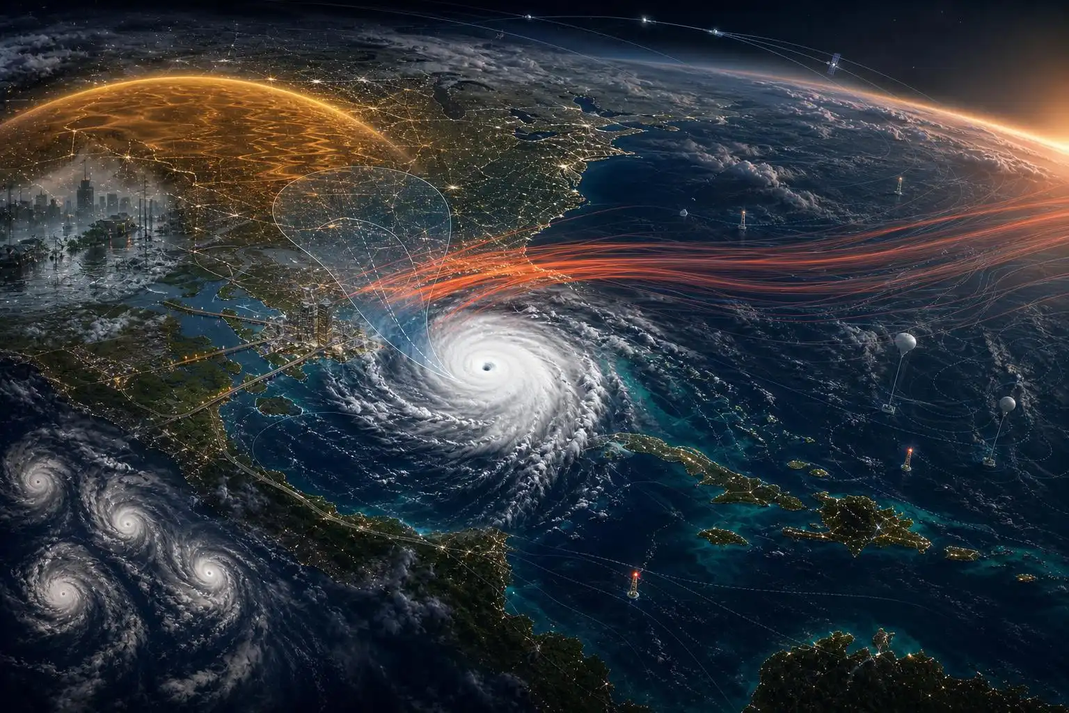
That is the central paradox of 2026: the large-scale climate pattern may suppress Atlantic activity, while ocean warmth, coastal growth, infrastructure strain, and forecasting challenges keep the human risk very real.
El Niño is the big Atlantic suppressor
The main reason forecasters expect fewer Atlantic storms is the developing El Niño. During El Niño, unusually warm water in the central and eastern tropical Pacific alters global wind patterns. In the Atlantic, that often means stronger upper-level winds blowing across the tropical development region.
Those winds create vertical wind shear — a change in wind speed or direction with height — and wind shear is hostile to hurricanes. Think of a developing tropical cyclone as a tall, rotating column of thunderstorms. Strong shear can tilt that column, displace the thunderstorms from the circulation center, and essentially “decapitate” the storm before it can organize.
That is why many seasonal forecasts are leaning lower than the active years Americans have grown used to. Colorado State University has projected 13 named storms, 6 hurricanes, and 3 major hurricanes, while AccuWeather has forecast 11 to 16 named storms and up to 7 hurricanes [1]. The Associated Press also noted that experts expect a less active Atlantic season than many recent years, with University at Albany atmospheric scientist Kristen Corbosiero warning that “it only takes one” storm to cause major devastation [2].
That phrase gets repeated often in hurricane season, but it is not a cliché. It is the core risk equation.
The Pacific may tell a very different story
While El Niño tends to suppress Atlantic hurricanes, it often energizes the eastern and central Pacific. NOAA forecasters are calling for a 70% chance of above-normal activity in the central and eastern Pacific, with 15 to 22 named storms, 9 to 14 hurricanes, and 5 to 9 major hurricanes in the eastern Pacific [1].
That matters for Mexico, Hawaii, shipping interests, and occasionally the U.S. Southwest. Pacific tropical systems can send deep moisture northward, enhancing flash flood threats in Arizona, New Mexico, Southern California, and parts of the Great Basin. Even when the circulation never reaches land as a tropical storm, its moisture plume can be enough to turn dry washes into dangerous torrents.
The developing El Niño also raises the odds of a season with sharp regional contrasts: fewer Atlantic storms overall, but more action in the Pacific; drought in one region, flooding in another; heat domes in some places, severe thunderstorms in others.
We are already seeing that kind of weather whiplash.
Spring has been a warning shot
The late-May weather map has looked less like a calm transition into summer and more like a hazard collage.
In Texas, rounds of thunderstorms disrupted air travel and raised concerns for isolated flooding, with parts of central Texas under severe thunderstorm watches and some areas potentially seeing 3 to 5 inches of rain [3]. Meanwhile, the Northeast swung from unusual heat to a sharp cooldown, after New York City reached roughly 92°F in Central Park [3].
That same pattern has stressed agriculture. Repeated swings from record heat to hard freezes and back to leaf-wilting warmth can damage fruit crops, confuse plant growth cycles, and raise irrigation demand early in the season.
Farther east, rainfall deficits have developed across parts of the Mid-Atlantic and Southeast, with rivers such as the Potomac and Shenandoah seeing record-low flow rates and Baltimore officials encouraging voluntary water conservation [3]. That is important heading into hurricane season because drought-hardened soils can initially resist rainfall absorption, increasing runoff during sudden downpours. At the same time, dry vegetation can elevate fire danger before tropical moisture arrives.
Then there was New York City, where flash flooding hit parts of Brooklyn and Queens after around 2 inches of rain fell in as little as 20 minutes. Officials said water entered the sewer system at rates up to 6 inches per hour, overwhelming infrastructure designed for about 1.75 inches per hour [4].
That is a key lesson for hurricane season: rainfall intensity can be just as dangerous as storm category. A tropical storm that never becomes a hurricane can still produce life-threatening flooding if it stalls over a city, a mountain slope, or a saturated watershed.
Europe’s early heat dome shows the global pattern
The same week the U.S. was dealing with flash flooding and severe storms, western Europe was sweltering under an early-season heat dome. Temperatures in parts of the UK, France, and Germany were running 10 to 15°C above average, with France breaking its May temperature record of 30.5°C and parts of southwest France forecast to approach 37 to 38°C [4].
Heat domes form when a strong ridge of high pressure traps warm air beneath it. Sinking air suppresses clouds and storms, sunshine bakes the ground, and the heat can reinforce itself day after day. When this happens early in the warm season, people may be less acclimated, buildings may not yet be prepared for sustained heat, and vulnerable populations face higher risk.
This is where hurricane season fits into a larger climate story. Tropical cyclones are not the only concern. Communities are now preparing for overlapping hazards: heat, drought, wildfire smoke, flash flooding, severe thunderstorms, and coastal storm surge.
Forecasting capacity matters more, not less
One troubling part of the 2026 outlook is not meteorological — it is institutional. The Guardian reported that experts have warned the U.S. is underprepared for hurricane season, citing staffing cuts affecting NOAA and the National Weather Service, including reduced satellite and weather balloon operations that are important parts of the nation’s observing system [1].
Weather balloons may sound old-fashioned, but they remain one of the backbone tools of forecasting. Twice-daily balloon launches sample temperature, humidity, pressure, and winds through the depth of the atmosphere. Those observations feed computer models that help forecast everything from hurricane tracks to severe thunderstorm outbreaks.
Satellites, aircraft reconnaissance, ocean buoys, radar networks, and human forecasters all play different roles in the warning chain. When any part of that system is weakened, uncertainty can grow — especially during fast-changing events.
A below-average hurricane season is not the year to relax the system. It is the year to sharpen it.
What coastal residents should do now
If you live near the Atlantic or Gulf Coast, your preparation should not depend on whether the seasonal forecast says “above average” or “below average.” Your home does not experience a seasonal average. It experiences the storm that actually arrives.
A few practical steps are worth taking before the first cone appears on the map:
- Review your evacuation zone, not just your distance from the beach. Storm surge can travel inland through bays, rivers, and canals.
- Build or refresh a disaster kit with water, shelf-stable food, medications, flashlights, batteries, pet supplies, and important documents.
- Photograph your property for insurance records before any storm threatens.
- Know whether your home is vulnerable to freshwater flooding, not only wind and surge.
- If you rely on electricity for medical equipment, make a backup power and relocation plan now.
- Do not wait until a storm is named to trim trees, clear gutters, or secure loose outdoor items.
For inland residents, the message is similar. Some of the deadliest tropical cyclone impacts happen far from landfall, especially from flooding and tornadoes embedded in rainbands.
The bottom line
The 2026 Atlantic hurricane season may be quieter than the hyperactive years still fresh in memory. El Niño gives forecasters a scientifically sound reason to expect fewer storms. But warm oceans, aging infrastructure, coastal exposure, and compounding weather extremes mean the risk is not erased.
A season can be below average and still be historic for one town.
That is why preparation has to be local, practical, and early. The atmosphere does not grade on averages — and neither should we.
References
- US will see below-average 2026 hurricane season with up to 14 named storms, Noaa predicts – The Guardian
- Atlantic hurricane season forecast to be milder than normal thanks to El Nino – AP News
- Texas storms prompt canceled flights as north-east heatwave comes to a close – The Guardian
- Weather tracker: flash floods in New York and a heat dome in Europe – The Guardian

Leave a Reply