
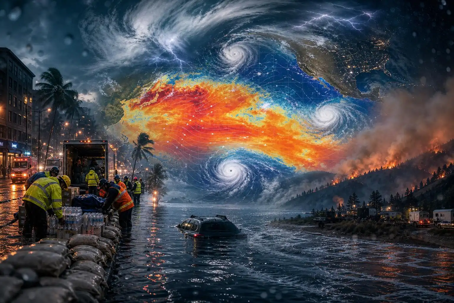

The latest weather warning is not coming from one coastline, one river basin, or one fire-prone forest. It is coming from the entire climate system. A rapidly strengthening El Niño is now unfolding on top of a planet already running a fever, and governments are beginning to treat the months ahead less like a seasonal forecast and more like a readiness drill.
That is the right instinct. El Niño is a natural climate pattern rooted in unusually warm water across the central and eastern tropical Pacific. But when it develops in a warmer world, its influence can amplify existing vulnerabilities: flood-prone neighborhoods, stressed power grids, drought-hit farms, fragile health systems, and communities already worn down by repeated disasters.
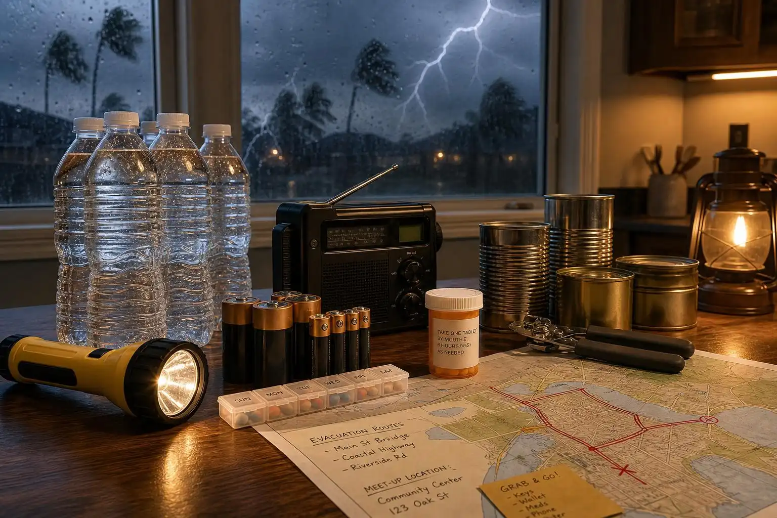
In recent reporting, the UN warned that El Niño was “supersizing,” with countries racing to prepare for more disruptive weather worldwide.[4] The British government has even urged households to keep enough food and water on hand to manage several days without power or running water as forecasters brace for a potentially stormy winter.[3] That kind of advice can sound dramatic, but from a meteorological standpoint it is practical: the most dangerous disasters often begin when familiar systems—electricity, roads, cell service, water treatment—fail at the same time.
El Niño does not create every disaster—but it tilts the odds
One of the most common mistakes in public weather conversations is to treat El Niño like a single storm. It is not. El Niño does not “hit” the way a hurricane makes landfall. Instead, it reshapes atmospheric circulation patterns over months, influencing where storms are more likely to track, where rain is more likely to fail, and where heat can become more persistent.
Typical El Niño impacts include wetter conditions across parts of the southern United States, southern Brazil, eastern Africa, and coastal Peru and Ecuador, while many areas of Southeast Asia, Australia, parts of northern South America, and central Africa can face elevated drought and fire risk.[4] Those are broad patterns, not guarantees for every town or every week. Local weather still depends on jet stream placement, ocean temperatures, soil moisture, topography, and short-term storm dynamics.
But the large-scale signal matters. If a region already has saturated soils, a wetter-than-average pattern can turn routine rain into landslide or flash-flood danger. If another region is already dry, a hotter and drier El Niño season can accelerate crop stress and wildfire spread. The World Food Programme has warned that this El Niño was likely to push about 50 million people into acute hunger, according to reporting on the global preparedness response.[3]
The human risk is built before the storm arrives
A key point from disaster science is that weather becomes catastrophe when it intersects with exposure and vulnerability. In Peru, for example, preparations have included U.S. deployment of the USNS Comfort to provide medical assistance and technical equipment ahead of El Niño’s expected peak.[4] But officials and researchers have also emphasized that El Niño “does not arrive in a vacuum”: housing in exposed areas, weak water and sanitation systems, and strained healthcare capacity can turn heavy rain into a much larger humanitarian crisis.[4]
That same principle applies from the Andes to Appalachia. A flood in a well-drained, well-warned community is not the same as a flood in a neighborhood with poor drainage, limited transportation, language barriers, or residents who cannot afford to miss work. A heat wave is not just a high temperature on a weather map; it is a public health emergency when people lack air conditioning, shade, medical care, or reliable power.
That is why preparedness cannot be reduced to sandbags and bottled water. It includes land-use planning, resilient building codes, maintained levees, early warning systems, backup power for hospitals, cooling centers, evacuation routes, and public communication that reaches people before the worst conditions arrive.
From Nepal’s glaciers to Midwest windstorms, extremes are overlapping
The recent Nepal-Tibet flood disaster has drawn attention to a particularly dangerous high-mountain hazard: glacial lake outburst flooding. As glaciers retreat, meltwater can collect behind unstable natural dams made of ice, rock, and debris. If one of those dams fails, floodwater can surge downstream with little warning, carrying boulders, sediment, and destructive force into valleys where roads, bridges, hydropower projects, and villages may sit directly in the path.
The Guardian’s coverage connected Nepal’s glacial collapse to a wider summer of climate disasters, including a destructive Midwest derecho that produced winds exceeding 100 mph and left nearly a million people without power from Illinois to Virginia.[1] Derechos are not new, but they are among the most frightening severe-weather events because they can cover enormous distances quickly, producing hurricane-force straight-line winds over multiple states.
As a meteorologist, I pay close attention to these compound events. Wind damage alone is dangerous. Flooding alone is dangerous. But when severe thunderstorms knock out power, block roads with trees, and drop torrential rain at the same time, emergency response becomes much harder. People may be trapped without cooling, refrigeration for medicine, clean water, or a way to receive warnings.
The same article noted that an early-season heat dome in the southwestern United States produced March heat extremes that climate scientists found would have been virtually impossible without human-caused warming.[1] That matters because climate change is not only raising average temperatures; it is loading the dice toward more intense extremes, especially heat.
Heat remains the quiet killer
Among U.S. weather hazards, heat is often the deadliest because it does not always produce dramatic images. There is no swirling radar hook, no wall of flame, no collapsed bridge. But the body has limits. When overnight temperatures stay high, humidity prevents efficient cooling, and vulnerable people cannot escape the heat, health risks rise quickly.
That is why the growth of weather-related prediction markets raises uncomfortable questions. Some online platforms have allowed betting on outcomes such as the severity of heat waves in Phoenix, even as hundreds of deaths in Maricopa County have been investigated as possibly heat-related and excessive heat remains the biggest killer among U.S. extreme weather events.[2]
Forecasting has always involved probabilities. Meteorologists talk about a 30% chance of rain, a moderate risk of severe storms, or a cone of uncertainty for hurricanes. But there is a difference between using probability to protect people and turning disaster impacts into a speculative market. When families are losing homes to fire or loved ones to heat, the weather is not a game.
What to watch in the months ahead
The strongest El Niño impacts often vary by region, but several risk areas deserve close attention:
- Flooding in normally wetter El Niño zones. Parts of the southern U.S., eastern Africa, southern Brazil, and western South America may face higher flood potential if storms repeatedly track over the same areas.[4]
- Drought and wildfire stress. Indonesia, Australia, parts of Southeast Asia, and other drought-prone regions can see heightened fire danger when rainfall weakens and heat builds.[3]
- Tropical cyclone complications. El Niño can suppress Atlantic hurricane activity through wind shear, but it may enhance storm risks in parts of the Pacific. China has already faced multiple typhoon impacts this year, with more than 1 million people evacuated as Typhoon Dolphin brought heavy rain and strong winds, according to BBC reporting.[4]
- Food and water insecurity. Rainfall disruptions can hit crops, livestock, hydropower, and drinking-water supplies, especially in countries where infrastructure is already fragile.
- Public health strain. Heat, smoke, contaminated floodwater, mold, injuries, and disease outbreaks can follow extreme events long after skies clear.
Preparedness starts at home—but it cannot end there
Household readiness is not fearmongering. It is basic risk management. Every family should have enough drinking water, shelf-stable food, medications, flashlights, batteries, phone-charging options, pet supplies, and important documents ready for several days. If you rely on electric medical equipment, make a power backup plan before storms arrive. If you live in a flood-prone area, know your evacuation route and never drive across water-covered roads.
For heat, identify cooling options before the first dangerous day. Check on older adults, outdoor workers, infants, people with chronic illness, and neighbors who live alone. During wildfire smoke events, watch air quality alerts and use a properly fitted high-quality mask if you must be outdoors. For severe thunderstorms, treat warnings seriously even when there is no tornado: straight-line winds can be just as destructive to trees, power lines, mobile homes, and vehicles.
But the bigger lesson from this El Niño is that preparedness is also collective. Communities need drainage systems that can handle heavier downpours. Schools and nursing homes need cooling plans. Emergency alerts need to be multilingual and accessible. Hospitals need backup power. Local governments need updated flood maps and realistic shelter plans. National governments need to invest before disasters, not only after them.
The forecast is a warning, not a sentence
A supersized El Niño does not mean every region will see disaster. Forecasts are probabilistic, and seasonal outlooks always contain uncertainty. But uncertainty is not an excuse for inaction. If anything, it is the reason to prepare.
The atmosphere is now operating in a warmer, wetter, more energetic background state. Oceans have reached record warmth as El Niño grows, adding fuel to global weather disruptions.[4] We cannot stop every flood, fire, heat wave, derecho, or landslide. But we can reduce the number of people caught off guard.
That is the practical message in this moment: take the forecast seriously, strengthen the systems that protect people, and remember that behind every weather statistic is a neighborhood trying to get through the next extreme event safely.
References
- Nepal’s glacial collapse foreshadowed a future of climate disaster — https://www.theguardian.com/commentisfree/2026/sep/01/nepal-flooding-climate-disaster
- Temperature check: alarm as prediction markets lean into weather betting — https://www.theguardian.com/us-news/2026/sep/02/weather-betting-kalshi-polymarket
- Minister tells Brits to stock up on days of supplies after ‘supersize’ El Niño warning — https://www.theguardian.com/environment/2026/sep/03/angela-eagle-uk-stock-up-supplies-el-nino-warning
- El Niño ‘supersized’ as countries race to prepare for extreme weather, UN warns — https://www.bbc.co.uk/news/articles/c17jqp0xzpzo


Leave a Reply
You must be logged in to post a comment.